

























































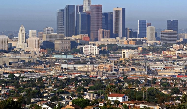
Los Angeles gets one more summer-like day Monday before a sharper midweek turn brings cooler temperatures, showers and possible thunderstorms. Almost all coastal and valley locations south of Point Conception are forecast to reach highs in the 70s Monday, under partly cloudy skies.
Afternoon Winds Pick Up Before The Cooldown
Monday will stay dry and bright, with light winds early shifting southerly and southwest at about 5 to 10 mph during the afternoon. Monday night will be partly cloudy.
Tuesday brings a noticeable step down, with mostly sunny skies and a high near 77. Rain may spread into the area Tuesday night or Wednesday, with timing uncertain, according to the National Weather Service.
Showers And Thunderstorms Take Over Wednesday
Wednesday is expected to bring cool conditions, with showers likely and thunderstorms possible later in the day and overnight. The forecast calls for highs Wednesday and Thursday in the mid-60s to lower 70s and an 80% chance of precipitation Wednesday, while Thursday stays cool with a chance of lingering showers and a high around 69.
Across the broader Los Angeles and Ventura region, forecasters expect roughly three-quarters of an inch to 1 inch of rain, with locally higher totals possible in foothills and coastal slopes. Any thunderstorms could bring brief heavy rain, lightning and gusty, erratic winds, so outdoor plans may need a backup.
Beachgoers should also be cautious through Tuesday morning, when elevated surf and dangerous rip currents are expected along parts of the Los Angeles and Ventura coasts. After the midweek system moves through, Friday turns sunny near 73 degrees, followed by a warmer and dry weekend with highs around 78.





