

























































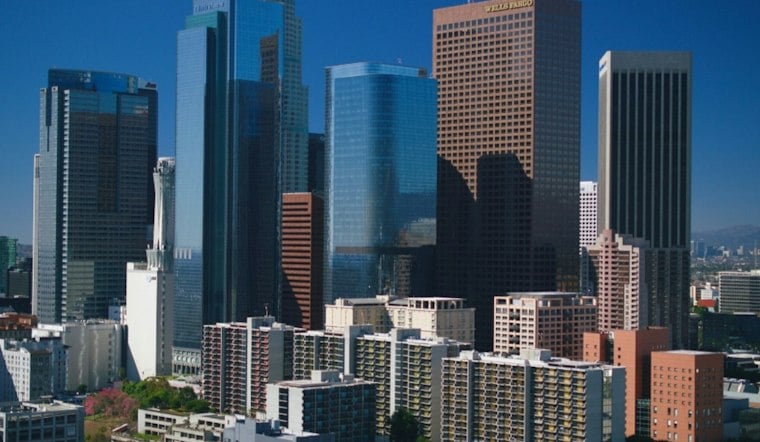
Downtown Los Angeles was headed for a sunny high near 96 Thursday. An Extreme Heat Warning remains in effect through Thursday evening, but the long hot stretch is finally about to break.
Heat Warning Ends Thursday Night
The National Weather Service expects light west winds, mostly sunny skies and dangerous afternoon heat across Los Angeles County. Officials recommend drinking plenty of fluids, staying in air conditioning when possible, avoiding prolonged sun exposure and checking on relatives and neighbors who may be more vulnerable.
Friday brings the first noticeable relief. A marine-layer cloud deck is expected over most coasts and some lower valleys, while Downtown LA is forecast to reach near 90. Saturday will be much cooler, with mostly cloudy skies and a high near 79 in Downtown LA.
Showers Enter The Forecast Sunday
The weekend turns unsettled Sunday, when patchy fog in the morning will give way to a chance of rain showers and a high near 74. A chance of rain continues Sunday evening, with a low around 58. Monday brings a chance of rain across the four-county area, with a high near 69.
The shift is a substantial update from Hoodline’s earlier heat forecast, which focused on the warning’s final stretch and the initial weekend cooldown. The latest outlook now calls for a wetter Sunday and Monday, with the possibility of heavier rainfall in parts of Los Angeles County, especially east of downtown.
Coastal Flooding Remains A Concern
Along the Los Angeles and Ventura County coast, a Coastal Flood Advisory remains in effect through 2 p.m. Tuesday. Forecasters say weekend tides could create a risk of seawater flooding on beach roads and paths, along with significant beach erosion.
For Downtown LA residents, Thursday is the day to limit strenuous outdoor activity and take the heat warning seriously. By Sunday, the bigger concern shifts to wet roads, reduced visibility in fog and a much cooler pattern that may finally feel more like fall.





