

























































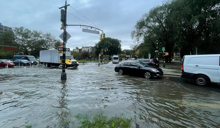
Five National Weather Service radar sites along the upper Gulf Coast were down and not transmitting data Sunday morning, just as a localized flash-flood threat and heavy rain moved through coastal Alabama and the Florida Panhandle. The outage left stretches of south Alabama and the panhandle without public radar coverage at the same moment forecasters were tracking rainfall rates of 2 to 3 inches or more per hour.
The five affected sites are KMOB near Mobile, KEVX at Eglin Air Force Base in the Florida Panhandle, KEOX near Fort Rucker in southern Alabama, KTLH near Tallahassee, and KVAX at Moody Air Force Base in south Georgia, according to Saluda Standard Sentinel. As reported by al.com, the radar issue was confined to south Alabama, and the outage did not affect radars in central and north Alabama. NWS Mobile reported Saturday that the MOB and KEVX radars would remain offline until further notice, per the same report.
Mobile radar data was not being disseminated to the public, al.com notes. NOAA weather radios remained operational, and a separate radar site in Louisiana returned to service Sunday, according to the same account.
Flash Flood Warnings Already in Effect
A flash flood warning was issued by the National Weather Service in Mobile at 3:32 a.m. Sunday for Santa Rosa County, according to Yahoo News. A flood watch remained in effect for coastal communities in northwest Florida and coastal Alabama, the outlet reported, and a localized flash-flood threat was expected to continue through 9 a.m. Central time across the same stretch of coast, per the Saluda Standard Sentinel report.
With the radar sites offline, heavy rain may not show up clearly on many public radar apps, the Saluda Standard Sentinel noted, a gap that could complicate how residents track fast-developing storms in real time. Parts of the Gulf Coast region were under flood watches Sunday, and heavy rain was expected to continue across Pensacola and communities to the east along the Florida Panhandle, raising the risk of both flash flooding and rising rivers, per Yahoo News. Minor river flooding was forecast on the Styx and Shoal rivers, with some residual river flooding potentially lingering into the middle of the week, the same report said.
Rainfall forecasts varied by source. The National Weather Service's forecast discussion, as cited by Yahoo News, called for an additional 2 to 5 inches of rain across much of the watch area, with isolated totals of 6 to 10 inches. A separate forecast from RadarWatch HQ put additional rainfall at roughly 3 to 6 inches, with locally higher totals up to 10 inches possible. A high risk of rip currents also continued for northwest Florida and coastal Alabama beaches through at least Monday, Yahoo News reported.
No Severe Storm Risk, But Flooding Remains a Concern
Neither Alabama nor the Florida Panhandle had a severe-weather risk Sunday. The National Weather Service continued issuing updates on the outage itself.
The National Weather Service relies on a nationwide network of multiple radar sites, and the agency has been dealing with this particular outage since Saturday, per al.com's reporting. Flooding could still become an issue across the affected region.
Not the First Gulf Radar Trouble
Radar outages have hit the region before. In May 2026, Central Alabama's primary radar, KBMX, went out of service because of a hardware failure ahead of expected severe storms, with technicians working to diagnose and repair the problem, according to ABC 3340. The KEVX radar itself has a history of extended downtime; a 2023 maintenance project to replace its radar pedestal was expected to take about two weeks, according to the National Weather Service.





