

























































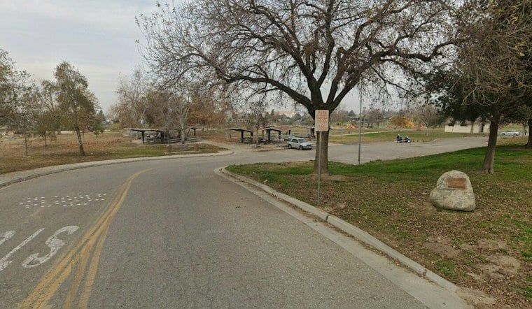
A six-mile bike and pedestrian trail running alongside the Friant-Kern Canal is about 95% complete and will give northwest Bakersfield its long-awaited direct link to the Kern River Parkway. The path already has a large completed stretch running from Coffee and Rosedale roads to 7th Standard Road, with the final piece — a bridge over a railroad crossing between Rosedale and Brimhall at Truxtun — still to come.
A Years-Long Project Reaches Its Final Stretch
According to 23ABC News Bakersfield, the railroad has approved the crossing project, and the final fabricated section needed for the bridge has already been ordered. Bob Smith said he hopes the bridge will be in place by late spring 2027, which would complete the connection between the canal trail and the broader Kern River trail system.
The new six-mile canal-side trail will eventually connect with the longer Kern River Parkway Trail, which stretches from Lake Ming to Lake Buena Vista. The path is designed as a multiuse route running from the Kern River Channel to 7th Standard Road, according to constructionjournal.com. It is built 12 feet wide and paved with asphalt, flanked by four-foot-wide dirt shoulders, and is meant to serve both alternative transportation and recreation while linking parks, schools, shopping centers, and the Kern River Parkway.
Bridges, an Undercrossing, and a Railroad Overcrossing
Getting the trail across the landscape has required some engineering gymnastics. The project includes a new 135-foot pedestrian bridge crossing the outfall of the Friant-Kern Canal within the Kern River floodplain, per the same construction records. It also calls for a golf-cart-path undercrossing next to Riverlakes Golf Course and a 75-foot pedestrian bridge near Madison Grove Park.
The trickiest crossing involves the BNSF railroad right of way, where a prefabricated steel pedestrian overcrossing is planned. That design wasn't always the plan — SJV Water reports that the path also has to get over or under the Westside Parkway and the Burlington-Northern-Santa-Fe railroad, and that the initial design would have put the path under the railroad before planners shifted it to go over instead, according to SJV Water.
That outlet also notes the city went out to bid on the six-mile northern extension only after 12 years of planning, funding efforts, and repeated rounds of environmental review. The Bakersfield Planning Commission had approved the trail in a 5-0 vote, with commissioners Barbara Lomas and Patrick Wade absent, according to bakersfield.com.
Costs Climbed as the Project Dragged On
The project's price tag has shifted considerably over its long life. 23ABC reported an estimated total cost of $8.2 million, while SJV Water gives a later funding breakdown for the $16.2 million project: $4.3 million in Active Transportation Program funds, $7.1 million in Congestion Mitigation and Air Quality funds, and $4.8 million in local funds. Construction records show the project was ultimately awarded to C.A. Rasmussen, Inc. for $16,199,053.73 as of June 2024, and SJV Water reported the price tag rose from $8.2 million in 2018 to $16.2 million by the time construction got under way.
What the Trail Means for Northwest Bakersfield
Bob Smith said the trail will let people bike through northwest Bakersfield and connect directly to the river path, calling it a valuable amenity for Ward 4 and the northwest. He said residents in that part of the city had long struggled to access the Kern River Parkway because of the high-speed Calloway and Coffee arterials cutting through the area.
Kevin Talley, who owns Grizzly Cycles in northeast Bakersfield, has already ridden the completed portion of the trail. He said the north-south bike path crosses several main arteries and believes greater cyclist visibility along the route will improve safety for everyone on the road. Talley called the project a major step forward for Bakersfield.
The canal trail is part of the city's broader master plan for cycling infrastructure. Bakersfield's bicycle transportation plan lists the Friant-Kern Canal route as a 6.10-mile Class I, family-friendly bikeway, one piece of a larger proposal for more than 259 miles of new bikeways citywide, over 100 of which are intended to be family friendly, according to the City of Bakersfield Bicycle Transportation Plan. Class I paths are defined in that plan as paved rights of way completely separated from streets or highways.
Federal paperwork also factors into the project's history. The City of Bakersfield requested approval from the U.S. Bureau of Reclamation to construct and maintain the six-mile multi-use path along the canal.





