

























































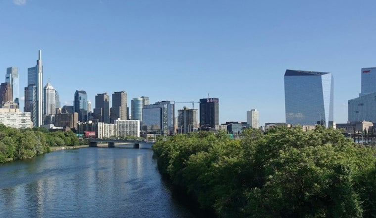
Philadelphia gets one more summer-like day Wednesday before a sharp cold front turns the weekend windy, wet and cold. The city starts under clear skies in the upper 60s, but temperatures will climb to near 84 by afternoon.
A slight chance of showers arrives between 11 a.m. and 3 p.m., but most of the day should stay mostly sunny. West winds will run 5 to 10 mph, humidity will make it feel warmer, and the heat index could approach 90 degrees in Philadelphia and areas south and east, according to the National Weather Service in Mount Holly.
Thursday Turns Sunny Before Rain Moves In
Thursday brings a much more seasonable afternoon, with sunny skies and a high near 69 degrees. Rain showers become likely after 8 p.m. Thursday night, with a 70% chance of precipitation and an overnight low around 56.
Friday Front Could Bring Storms And Strong Winds
Showers are likely Friday, with thunderstorms possible after 5 p.m. The forecast calls for mostly cloudy skies, a high near 79 and a 90% chance of rain, with roughly a tenth to a quarter-inch of rainfall possible.
The strongest weather arrives as the cold front sweeps through from midafternoon into the evening. Gusts could reach 25 to 35 mph ahead of the front, then rise sharply behind it, with winds of 40 to 50 mph possible for a few hours Friday night as temperatures fall into the 40s.
Weekend Chill Brings Frost Potential
Saturday will feel like a different season, with sunny skies but a high near 54 and northwest gusts that could reach 30 to 40 mph in the morning. Saturday night should be mostly clear and cold, with Philadelphia dropping to around 39 degrees while frost and freeze conditions become possible across the wider region, especially north of Interstate 78.
Sunday rebounds modestly under full sunshine, with a high near 61, followed by highs around 65 Monday and 68 Tuesday. The sharper wind, storm and frost setup marks a substantial update from an earlier Hoodline forecast that had already flagged the swing from midweek warmth to a colder weekend.





