

























































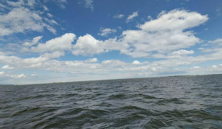
Norfolk is waking to clear skies Friday, but the waterfront comes with a brief flooding concern before the day settles into a cool, breezy autumn pattern. A coastal flood advisory remains in effect through 10 a.m. for low-lying areas near shorelines and tidal waterways. After that, the forecast turns mostly sunny and dry, with a high near 66.
Morning Flooding Risk Stays Near The Water
The National Weather Service in Wakefield says water levels could rise as much as one foot above ground in vulnerable locations across Norfolk, Chesapeake, Suffolk, Hampton, Poquoson and Portsmouth. Parking lots, parks, lawns and low-lying roads near the waterfront may see shallow flooding, so drivers should avoid barricades and never travel through water of unknown depth.
The immediate coastal area should stay dry otherwise, with rain chances near zero. Northeast winds will run 8 to 14 mph, with gusts up to 22 mph, making the afternoon feel cooler than the thermometer suggests.
Dry Weather Holds Through Next Week
Friday night will be partly cloudy with a low around 52 and continued northeast winds. Saturday brings partly sunny skies, a high near 63 and a low around 50, while Sunday should be mostly sunny with a high near 64.
The dry stretch continues Monday through Thursday, with sunny or partly sunny skies and highs generally in the mid-60s. The warmest day in the extended forecast is Thursday, when temperatures could reach 67, but rain chances remain minimal throughout the period.
Boaters Should Expect Rougher Water
Elevated northeast winds and seas are expected to continue across the lower Chesapeake Bay and nearby coastal waters through the weekend. Boaters should check conditions before heading out, as waves and gusty winds may remain hazardous even while skies stay bright over land.




