

























































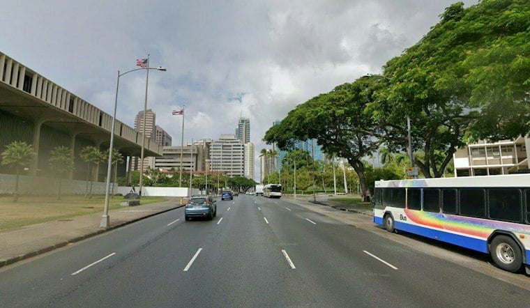
Honolulu gets one more mostly sunny day Monday before a much wetter and more hazardous pattern moves in. The city should reach about 85 degrees, with showers possible before noon and sunnier skies later, but the bigger concern arrives Tuesday as heavy rain and thunderstorms become more likely.
Flood Watch Begins Tuesday Morning
The National Weather Service has issued a Flood Watch for all of the main Hawaiian Islands from Tuesday morning through late Wednesday night. Forecasters warn that intense showers could quickly flood low-lying roads, urban areas and places near overflowing streams, so commuters and outdoor planners should be ready for rapidly changing conditions.
Tuesday is expected to be mostly cloudy with occasional showers, a high near 84 degrees and a 90% chance of rain. Rainfall could total three-quarters of an inch to 1 inch during the day, followed by another 1 to 2 inches Tuesday night as showers continue.
Thunderstorms And Heavy Rain Continue Wednesday
Wednesday looks like the wettest stretch of the week for Honolulu, with a 90% chance of rain, a high near 82 degrees and occasional thunderstorms after noon. Some storms could produce very heavy rain.
The National Weather Service advises residents to monitor later forecasts and be prepared to act if Flash Flood Warnings are issued. Never drive through a flooded roadway, even if the water appears shallow or traffic is still moving.
Rain Eases Somewhat By The Weekend
Showers and thunderstorms remain possible Thursday. Rain chances ease to 60% Friday and 50% Saturday, though skies should stay mostly cloudy with scattered showers.
The pattern may change by the weekend, with winds uncertain.





