

























































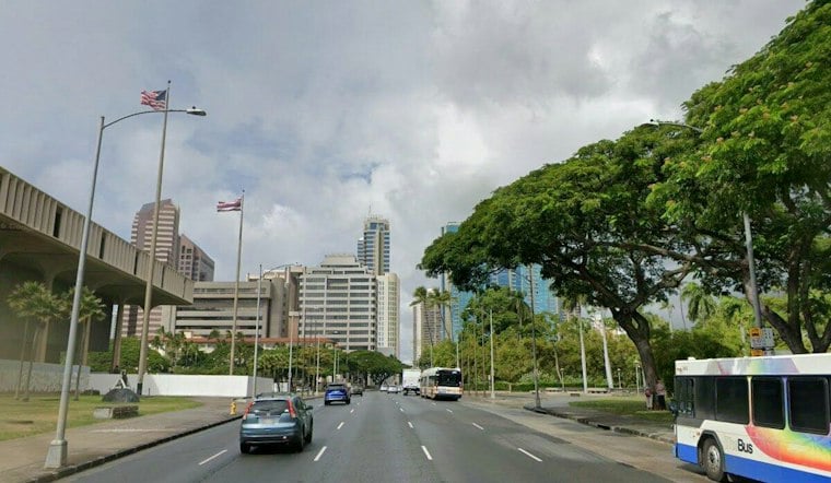
Honolulu gets a classic trade-wind reset Thursday: brief showers are most likely before noon, then skies brighten as temperatures climb to about 85 degrees. The early rain should be more noticeable in windward and mauka areas, while the afternoon turns mostly sunny.
Morning Showers Fade Before Lunch
Thursday’s rain chance is 40%, with new rainfall generally less than a tenth of an inch. East-northeast winds of 7 to 11 mph will continue through the day, then Thursday night should be mostly clear with isolated showers after midnight and a low near 74.
Friday And Saturday Stay Warm
Friday will be slightly warmer, reaching about 86 degrees with isolated showers before noon and mostly sunny skies later. Saturday should reach about 85 with a few morning showers, while overnight lows remain in the mid-70s and northeast winds hover near 10 mph.
Sunday Brings More Showers
Sunday looks more unsettled, with scattered showers before noon, a 30% chance of rain and a high near 85 before partly sunny skies return. Saturday night could turn mostly cloudy with scattered showers after midnight, so weekend outdoor plans may need a little flexibility.
Stormier Pattern Takes Shape Next Week
The latest outlook points to a more active weather pattern Tuesday through Wednesday, as deeply unstable tropical moisture moves across the islands. Heavy rain and thunderstorms could affect all islands, but the timing and intensity remain uncertain, the National Weather Service’s Honolulu discussion says.
The moisture surge is part of a roughly 1,500-mile band moving north across the islands, with weak low-pressure circulations embedded in it. Their locations and strength could shape where the heaviest rain develops, leaving island-by-island impacts uncertain several days out. Forecasters say a hydrologic outlook may be needed as the potential for heavy rain and flash flooding comes into clearer focus. The National Weather Service’s Honolulu discussion says the forecast should become more specific as the event gets closer.
Forecasters say heavy rain and thunderstorms could affect all islands, although the exact timing and intensity remain uncertain. No watches, warnings or advisories are in effect Thursday, but anyone planning to drive or spend extended time outdoors Tuesday and Wednesday should keep an eye on updated forecasts, particularly in areas vulnerable to flash flooding.
The approaching pattern falls during Hawaii’s wet season, which runs from October through April. In National Weather Service records covering 1960 through 2005, flash floods averaged about eight events a year, with October and November showing the highest monthly frequency. The agency also identifies flash floods as the leading cause of direct weather-related deaths in the state in that historical record. The agency’s Hawaii flash-flood statistics advise staying out of flooded roads and streams.


