

























































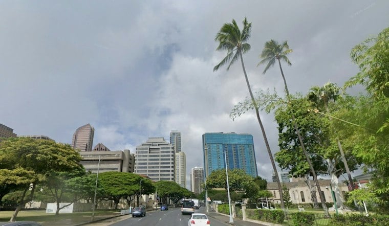
Honolulu’s forecast calls for a few early showers Friday, then mostly sunny skies and a high near 86 degrees. Overnight rain could reach a quarter-inch to half-inch in spots.
Trade winds build over the weekend
Saturday is forecast to be sunny with a high near 86 degrees and east-northeast winds of 9 to 15 mph, with gusts possibly reaching 20 mph. Sunday should also be sunny, with a high near 85 degrees; winds could rise to about 21 mph, with gusts up to 29 mph. The forecast says east-facing shores may become choppier as the winds strengthen.
Monday is forecast to bring scattered showers early, followed by mostly sunny skies and a high near 85 degrees, with gusts possibly reaching 25 mph. Rain chances are expected to increase Monday night and continue into Tuesday and Wednesday, when passing showers may accompany partly sunny skies. Highs are forecast to remain near 85 to 86 degrees, with overnight lows in the mid-to-upper 70s.
Past rainfall records show variation, not a current trend
Historical figures offer context for Honolulu’s rainfall, but they cover different years and periods and cannot explain this weekend’s weather. A November 2021 NWS Climate Services report listed Honolulu’s October rainfall at 0.05 inches—4% of the 1.26-inch normal shown in that report. It is a dated observation, not a measure of current October conditions.
Other official records illustrate how rainfall conditions have differed in other periods. A September 2019 NOAA/NWS climate outlook reported Honolulu rainfall at 450% for June through August, attributing that total to exceptionally wet conditions in June. Separately, a July 2024 Honolulu Board of Water Supply report put its June rainfall index at 61% of normal and said Oʻahu was abnormally dry as of July 2. That island-wide report is not a Honolulu forecast. Taken together, these snapshots document past variation; they do not establish a long-term trend or indicate what rainfall this week will bring.


