

























































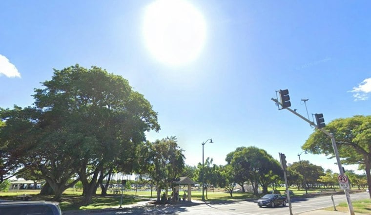
Honolulu is starting Tuesday warm and mostly sunny, with temperatures around 74 degrees before sunrise and a high near 86. Northeast winds around 3 to 7 mph should keep the day breezy but comfortable, with only a small chance of a passing shower.
The pleasant setup is temporary. The National Weather Service in Honolulu says winds will turn southerly as low pressure develops north of the islands, opening the door to wetter and more unsettled weather.
Rain And Thunderstorms Arrive Midweek
Wednesday will still have mostly sunny breaks, with a high near 86 and scattered showers. The bigger change arrives Wednesday night into Thursday, when rain chances rise to about 60% to 70% and a few thunderstorms could produce heavy rain.
The forecast allows for 1 to 2 inches of rain in some areas, although the heaviest downpours are expected to be uneven. Southerly winds could also push heavier showers toward south-facing areas, meaning rain may not stay confined to the usual windward and mountain spots.
That sharper midweek turn updates the trend outlined in Monday's Hoodline forecast. No watches, warnings or advisories are currently in effect, but brief heavy showers and reduced visibility could make Thursday travel messy.
Warm Weekend With Passing Showers
Friday should remain warm, near 87 degrees, with scattered showers and partly sunny skies. Saturday and Sunday look a little calmer, with mostly sunny periods and scattered showers mainly in the 30% range.
Monday is expected to stay warm with isolated showers and an afternoon high near 84. Beachgoers may also notice a bump in south-facing surf Tuesday, followed by a moderate northwest swell near north-facing shores Wednesday and a smaller west swell later in the week.





