

























































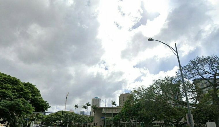
Honolulu is starting Monday under mostly clear skies, but a few showers may sweep through before noon as trade winds build. Temperatures should rise from around 75 degrees early to about 85 in the afternoon, with mostly sunny skies taking over later in the day.
Morning Showers, Afternoon Gusts
Showers may occur Monday, especially along windward and mauka areas rather than in drier leeward neighborhoods. East-northeast winds will run 13 to 20 mph, with gusts up to 28 mph.
Trade Winds Stay Strong Through Tuesday
Monday night will be partly cloudy with a low near 75 and gusts still reaching 28 mph. The National Weather Service forecast calls for fresh to strong trade winds Tuesday, potentially reaching around 23 mph with gusts up to 32 mph.
Small Craft Advisory Remains In Place
Boaters should note that a Small Craft Advisory is in effect until 6 a.m. Tuesday for most Hawaiian coastal waters and channels, except windward Big Island waters. Trade-wind swell should keep east-shore surf just above seasonal average through Tuesday, while south-shore surf remains relatively small.
Quieter Midweek, Spotty Showers Later
Wednesday looks sunny and breezy with a high near 85, while Thursday should reach 86 with isolated showers possible after noon. Friday should reach near 86, with shower activity possibly increasing into the weekend.
For Honolulu residents, the practical pattern is simple: keep a light rain layer handy for the morning, then expect brighter skies and a noticeable trade-wind push by afternoon. Secure loose items on lanais and use extra care around exposed shorelines when gusts pick up.





