

























































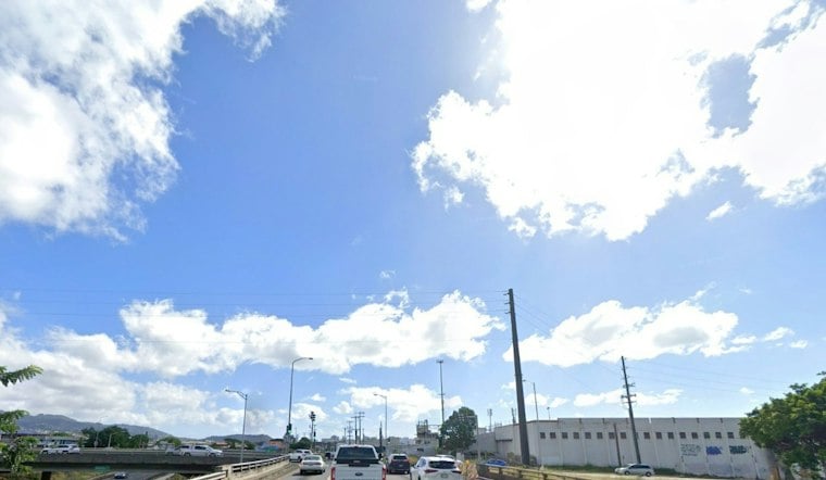
Honolulu is waking up Thursday as trade winds strengthen, with showers in the forecast.
Trade Winds Build Into The Weekend
Trade winds will strengthen Thursday, becoming more noticeable Friday and through the weekend. The latest outlook updates Wednesday’s forecast with a clearer timeline for stronger winds and several pulses of showers.
Friday is forecast to bring isolated afternoon showers and highs ranging from 80 to 86 degrees. By Friday night, isolated showers are forecast, with a 20% chance of rain and east winds of 10 to 15 mph.
Weekend Showers Favor Windward Areas
Saturday through Monday will stay warm, with highs near 85 degrees, but the trades will be the main story. The trades will strengthen over the weekend, while isolated showers are most likely overnight and during the morning.
According to the National Weather Service Honolulu, the wetter bursts should favor windward and mountain areas, though the strongest wave from Sunday night into Tuesday morning could occasionally push showers into drier leeward communities. Honolulu can still expect plenty of sunny breaks, so this is more of a keep-an-umbrella-nearby pattern than an all-day washout.
Marine Conditions Turn Rougher
A Small Craft Advisory is in effect from Thursday morning through Saturday evening for typically windier waters and channels near Maui and the Big Island. Honolulu has no local weather alerts listed, but beachgoers and boaters should expect rougher east-facing surf as the trades strengthen, along with seasonal-size surf on north and west shores Friday and Saturday.
Tuesday should remain breezy with a high near 85 degrees and isolated morning showers, followed by sunny breaks. Forecast conditions become less certain from Wednesday onward.




