

























































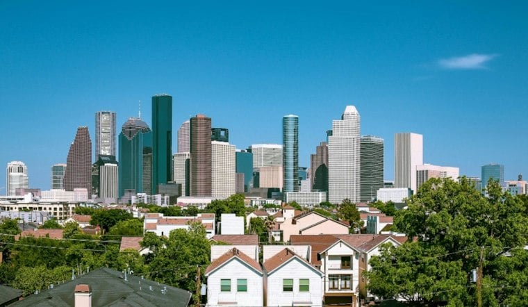
Houston starts Wednesday in partly cloudy, sticky air, with temperatures around 81 degrees early and a high near 90 expected by afternoon. A few showers and thunderstorms are possible through early afternoon, mainly west of I-45, but most of the city should turn mostly sunny. The bigger weather plot twist arrives Friday, when a cold front sends north winds through the region and knocks the weekend back into the 70s.
Wednesday Heat Builds Between Brief Storm Chances
According to the National Weather Service Houston/Galveston, Wednesday’s rain chance is about 20%, with the best window from 7 a.m. to 1 p.m. Southeast winds will run 5 to 15 mph, and the air should become noticeably drier through the afternoon as clouds give way to sunshine. Houston’s high is expected to reach near 90, with a low around 72 Wednesday night.
Thursday Offers One More Warm Outdoor Window
Thursday stays mostly sunny and warm, topping out near 89, with a 20% precipitation chance. Rain chances Thursday night are about 20%, and the night should remain partly cloudy with a low near 70. That gives patio diners, dog walkers and anyone still pretending it is fall one more mostly reliable window before the front arrives.
Cold Front Brings A Real Weekend Reset
The front is expected Friday, with precipitation chances around 20% well inland and higher nearer the coast or offshore, followed by a turn to northerly winds and cooler air. Friday night’s low could fall to around 61, and Saturday looks sunny but breezy, with a high near 72. Sunday stays sunny and milder near 77, while warmer weather begins returning Monday and Tuesday.
The sharper Friday-to-Saturday temperature drop is the main update from Tuesday’s Hoodline forecast, which already flagged the cold front but had less detail on the weekend chill. For outdoor plans, Saturday looks like the clear winner: sunny, dry and dramatically less swampy.
Coastal Winds Could Get Rough
Offshore conditions are expected to worsen after the front, with seas building and small-craft advisories likely Friday night and Saturday. Gale-force conditions are also becoming more possible, so boaters should check the latest marine forecast before heading out. No watches or warnings are currently posted for the Houston area.





