

























































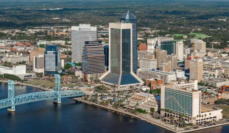
Jacksonville is starting Tuesday clear and mild, with temperatures near 64 degrees early and a mainly sunny afternoon headed for a high around 85. Rain is not expected today, giving residents a clean-weather window after the region’s recent soggy stretch. The bigger shift arrives this weekend, when cooler air, stronger northeast winds and scattered showers move in.
Sunny, Warm Weather Holds Through Friday
Tuesday will stay mainly sunny, followed by a mostly clear night with a low around 66. Wednesday should be sunny after a chance of patchy fog early, with a high around 85 and an overnight low near 69. Thursday remains sunny and dry, with a high around 85 and a low near 70. The National Weather Service’s Jacksonville forecast lists the temperatures and Wednesday fog chance.
Friday brings the warmest day of the stretch, with sunshine and a high near 87. Rain chances remain low through Friday, although the forecast begins to turn as a cold front approaches from the northwest.
Weekend Winds Bring Cooler Air And Shower Chances
The National Weather Service’s latest discussion says the dry pattern should hold through Thursday, then coastal hazards rise as high pressure weakens Friday and a cold front approaches from the northwest. That setup brings increasing moisture and shower chances later in the week, while forecasters expect the strongest coastal impacts over the weekend. The Jacksonville forecast discussion outlines the transition.
Coastal rain potential begins Saturday afternoon. It will be windy, especially near the coast, making outdoor plans more challenging.
Sunday is forecast to reach about 77 degrees, with a 30% chance of showers and windy conditions. Monday brings another 30% shower chance, mostly sunny skies and a high near 79, with windy conditions continuing. The National Weather Service’s Jacksonville forecast lists the updated weekend and Monday outlook.
Coastal And River Conditions Bear Watching
The National Weather Service’s current outlook flags possible tidal flooding as northeast winds strengthen late Saturday through Monday; its latest forecast discussion identifies minor river flooding along lower portions of the Satilla River. Jacksonville’s weather service office describes the coming coastal impacts, and its forecast discussion names the current river-flood concern.
A lower-end moderate rip-current risk remains at northeast Florida beaches Tuesday through Thursday. The National Weather Service now says a high rip-current risk is likely at all area beaches Saturday and Sunday, alongside gusty onshore winds at coastal locations. Jacksonville’s latest forecast discussion highlights the weekend beach hazards.
The weekend outlook is broader than the land forecast’s intermittent shower chances. The weather service expects strengthening northeast winds late Saturday through Monday to bring back local nor’easter conditions, with potential effects on marine waters, surf and high-tide flooding. That means coastal plans could face hazards even when rain is not falling at a particular location. Jacksonville’s National Weather Service office highlights the coming coastal impacts.





