

























































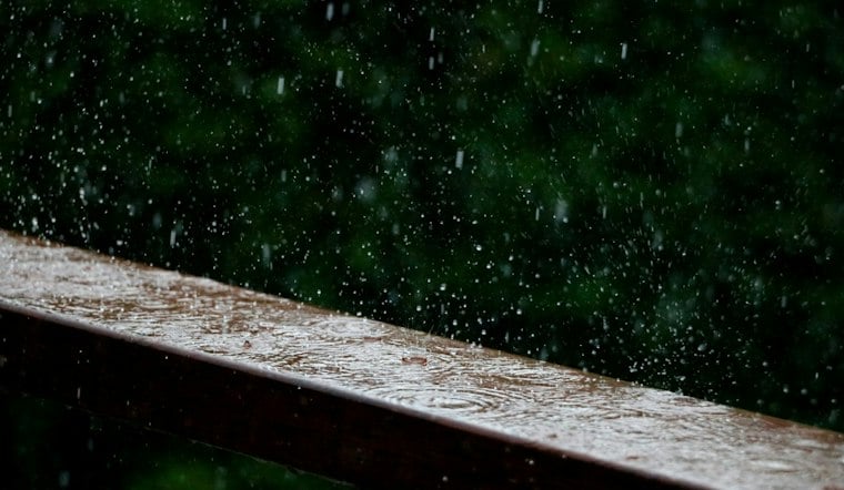
Rain and thunderstorms were forecast for Sunday in Las Vegas, with gusty winds and possible flash flooding expected across the valley. The unsettled weather is set to continue through the afternoon, making for a rough day for drivers, outdoor events and anyone hoping to keep their plans dry.
Heavy Rain And Thunderstorms Continue Sunday
Heavier precipitation could bring lower cloud ceilings. The National Weather Service expects showers and thunderstorms through the morning, followed by additional scattered storms into the afternoon, with a high near 73 degrees, cooler than Saturday.
A Flood Watch remains in effect through early Monday for the Las Vegas Valley and surrounding parts of Clark County. Heavy downpours could quickly create flooding in poor-drainage areas, along urban streets and near low-water crossings, so drivers should never attempt to cross a flooded roadway. Residents can monitor updates from the National Weather Service before heading out.
Wind Advisory Covers Las Vegas Valley
Strong south to southwest winds are expected to build through the day, with sustained winds generally between 14 and 24 mph and stronger gusts possible. The Wind Advisory remains in effect through 5 a.m. Monday, with gusts of 45 to 55 mph possible across the region.
Those winds may blow around unsecured outdoor items, break tree limbs and make driving difficult, especially for high-profile vehicles. Blowing dust is also possible late Sunday morning into the afternoon, adding another visibility hazard as storms move across the valley.
Cooler, Drier Weather Arrives Midweek
Sunday night should turn mostly cloudy with a low near 60 degrees, while Monday brings a continued chance of scattered showers and thunderstorms and a high near 72. The storm threat tapers Tuesday, when a few more showers or storms could occur and the high nears 69; skies clear Wednesday.
Skies should clear Wednesday, followed by a gradual warm-up into the upper 70s Thursday and Friday. The sharper Sunday update follows Hoodline's earlier weekend forecast, with the active rain, flood risk and wind impacts now arriving across the valley.





