

























































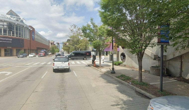
Louisville woke Sunday to light rain, damp air and temperatures near 60 degrees, with a gray, unsettled day ahead. Periods of drizzle and rain showers are expected through early afternoon before the city slowly dries out under lingering clouds.
The National Weather Service Louisville office says drizzle is likely from about 8 to 10 a.m., followed by rain showers late morning and a few additional showers into early afternoon. A north wind of 5 to 8 mph will keep the day cool, with a high near 69; no watches, warnings or advisories are in effect.
Rain amounts will be uneven, but a quarter to half-inch is possible across much of the broader area, with heavier pockets in parts of central Kentucky. If you have outdoor plans, the better odds for a break arrive after roughly 1 p.m., especially west of Louisville, although clouds may stick around through sunset.
Fog Could Return Sunday Night
Sunday night turns quieter but not entirely clear. Patchy fog may develop after 11 p.m. as temperatures fall to about 55, with light west winds and partly cloudy skies.
Columbus Day Brings A Sudden Warmup
Monday flips the script: patchy morning fog should give way to mostly sunny skies and a high near 84 degrees. Tuesday looks sunnier and warmer still, with a high near 87 and southwest winds of 7 to 12 mph.
Storm Chances Return Midweek
Showers and thunderstorms return to the forecast Wednesday and Thursday, when highs ease back to the mid-80s and upper 70s. Friday brings a cooler, partly sunny day near 71 with a chance of rain showers, followed by a much cooler Saturday near 60.





