

























































NASA and the U.S. Department of Agriculture signed a memorandum of understanding this week aimed at giving American farmers and ranchers broader access to satellite data that already underpins crop forecasts and yield estimates. The agreement, signed in Washington, D.C., is designed to tighten the two agencies' work on agricultural and Earth science research, technology and data applications.
According to USDA, Secretary Brooke L. Rollins and NASA Administrator Jared Isaacman signed the memorandum, which officials say will integrate Earth observation, geospatial analytics and statistical methods to support agricultural statistics. Rollins said USDA would work with Isaacman and NASA to use technology, research and development to fortify American agriculture, adding that the partnership would enhance USDA acreage and yield estimation and help drive profitability for the sector.
Isaacman said NASA's advanced sensing, computing and analytical capabilities should be used wherever they can deliver meaningful outcomes for Americans. He also said combining NASA's Earth observation data and expertise with USDA's agricultural knowledge could improve information available to farmers and ranchers, sharpen understanding of crop conditions, and deepen insight into natural hazards. The NASA administrator added that the collaboration could pursue high-risk, high-reward ideas meant to advance science and American competitiveness, as reported by Action News Now.
What the Agreement Actually Covers
The memorandum lays out several concrete workstreams, per USDA's announcement. It calls for regular technical exchanges to align USDA's statistical requirements with NASA's Earth science missions and satellite observations, along with discussions on scalable access to NASA's archives, cloud-native geospatial formats, and application programming interfaces that could feed USDA's production operations.
The two agencies also plan joint technical reviews of the algorithms behind crop-condition indicators, yield models, and planted and harvested area estimates, as well as methods for assessing disaster impacts. Officials say the work will include approaches to bias correction and validation using statistically sound frames and ground data, the same USDA release notes.
Building on a Decades-Old Partnership
This is not the first time NASA and USDA have formalized their cooperation. A prior memorandum of understanding between the two agencies, signed on a Wednesday, likewise strengthened collaboration on agricultural and Earth science research, technology, agricultural management and the application of science, according to NASA. Officials describe the new agreement as building on that long-standing relationship rather than starting from scratch.
The practical roots of that relationship run deep. Since 1972, the NASDA-NASS partnership has employed enumerators nationwide to gather agricultural data on the ground, according to NASDA. For more than a decade, NASA's Landsat program has added another layer: since 2009, USDA's National Agricultural Statistics Service has drawn on Landsat data to monitor dozens of crops across the lower 48 states through its Cropland Data Layer program, per the Scientific Visualization Studio at NASA's Goddard Space Flight Center.
How Satellites Already Shape Crop Numbers
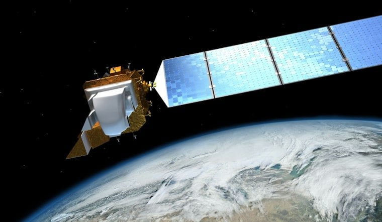
NASA's Earth-observing satellites already play a direct role in day-to-day agricultural monitoring. Landsat tracks planted fields and crop conditions, MODIS captures daily imagery used for yield analysis, and SMAP measures soil moisture, the NASDA report states. By merging that imagery with data gathered by enumerators in the field, NASS has said it is now able to produce more accurate statistics and more timely reports.
USDA's own crop-production methodology reflects that blend. Satellite imagery is used to detect acreage and analyze crop health and yield across fields, while on-the-ground observations and measurements validate acreage figures and refine yield estimates, according to an Agricultural Statistics Board briefing posted by NASS. Separately, NASS material describes satellite imagery analysis by USDA's Foreign Agricultural Service as a tool for monitoring the condition and expected yield of foreign crops economically important to the United States, including wheat and other commodities, which officials say enhances the accuracy of production forecasts.
Part of a Broader Data Modernization Push
The new memorandum also plugs into a wider USDA initiative. Rollins unveiled a data modernization plan last month intended to reduce burdens on producers and improve the timeliness, accuracy and usefulness of agricultural data, the department said in a prior announcement. That plan, USDA has said, puts farmers first by cutting red tape, deploying modern tools and giving producers a stronger voice in how the agency collects and reports agricultural data.
Officials have also tied the new partnership to a December 2025 executive order from President Trump titled Ensuring American Space Superiority, which prompted NASA and USDA to explore improvements to American and global agriculture, environmental observation and human health. That order, according to the Federal Register, frames superiority in space as a measure of national vision and willpower, stating that the technologies developed to achieve it contribute to the nation's strength, security and prosperity.
USDA and NASA officials say the partnership will help American farmers and ranchers benefit from and gain access to cutting-edge technologies, though the agencies have not detailed funding levels, staffing commitments or specific timelines for rolling out the new data tools. For now, the memorandum formalizes a direction rather than a finished product, building on a pipeline of satellite and field data that has shaped the nation's crop statistics for decades.




