

























































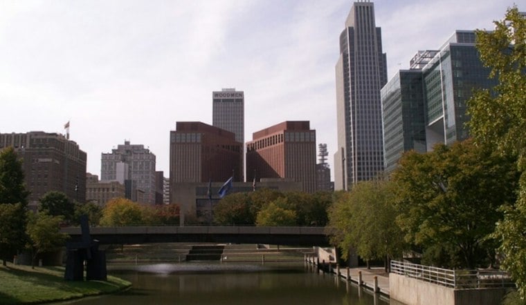
Omaha starts Monday near 50 degrees under mostly clear skies, then warms to about 75. A morning shower is possible, while clouds are expected to increase later in the day.
The National Weather Service says a few showers could pass through the Omaha area before 9 a.m., with the steadiest rain expected to stay north and west of the metro. North winds near 15 mph at the airport early should ease as temperatures rise. No watches, warnings or advisories are in effect.
Warm Start, Then A Midweek Shift
Clouds should linger Monday night as temperatures dip to around 53 degrees, then rise slightly overnight. Tuesday remains mild, with a high near 71 degrees and mostly cloudy skies.
Rain chances later in the week were also part of Sunday’s Omaha forecast.
Midweek Stays Mild
Wednesday could reach about 74 degrees, with mostly sunny skies. South winds may gust as high as 20 mph, making outdoor plans breezy.
Thursday offers a quieter window: partly sunny skies and a high near 74 degrees, with only a small chance of showers. Sunday is the best bet for a warm, mostly dry afternoon, while shower and thunderstorm chances rise Tuesday night.
Rain Risk Rises For Halloween
Showers and thunderstorms are scattered Friday, when Omaha is forecast to reach a high near 77 degrees. Saturday, Halloween, brings likely showers and a high near 70.
Omaha’s Halloween Rainfall History
For historical context—not as a prediction for this weekend—National Weather Service Omaha/Valley records show average October 31 precipitation of 0.11 inches, based on data from 1871 through 2017. That average describes precipitation amounts, not how many years had measurable rain. Omaha’s wettest Halloween on record was in 1920, with 2.03 inches of rainfall.
A chance of showers may linger Saturday night before Sunday turns partly sunny and cooler, with a high near 67 degrees. Those making Halloween plans may want a wet-weather backup.





