

























































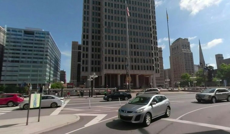
Philadelphia wakes to clear skies and temperatures near 60 degrees Tuesday, with one more warm stretch ahead before autumn hits the brakes. The city should reach about 79 degrees under mostly sunny skies, but the forecast takes a dramatic turn by Friday.
Southwest winds will run from calm to around 10 mph Tuesday, while humidity gradually builds. The National Weather Service also says spotty minor coastal flooding could occur during Tuesday morning's high tide along the Atlantic coast and Delaware Bay, though no weather advisory is in effect for the Philadelphia area.
Wednesday Brings The Warmest Air
Wednesday looks like the peak of the warm spell, with sunny skies and a high near 84 degrees in Philadelphia. A west wind of 5 to 10 mph will do little to erase the increasingly humid feel, and heat-index values could approach 90 degrees in and around the city, especially away from the coast.
Thursday will be noticeably cooler but still mostly sunny, with a high near 69 degrees. Some showers may develop Thursday night, and thunderstorms cannot be ruled out.
Friday Storms Set Up A Chilly Weekend
Showers and thunderstorms are likely Friday, when Philadelphia could reach 75 degrees before a strong cold front sweeps through. Rain chances remain elevated into Friday evening, while gusty southwest-to-west winds accompany the front and strong cold-air advection follows.
Saturday will be blustery, with highs in the 50s and gusty northwest winds. Sunday stays sunny and cool near 57 degrees, making the weekend feel more like late October than the warm, humid setup arriving this week.





