

























































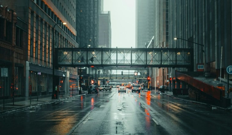
Light rain is falling across Raleigh early Saturday, with temperatures in the low 60s and a damp, gray day ahead. Rain will remain likely through the afternoon, while gusty winds and a more serious storm threat arrive as the weekend unfolds.
Saturday’s high should reach about 69 degrees, with rain likely mainly after 3 p.m. The National Weather Service discussion calls for increasing northeast winds; Hoodline forecasts northeast winds of 8 to 13 mph, with gusts up to 23 mph.
Saturday Night Turns Wetter
Showers are expected to continue Saturday night, with a thunderstorm possible after 11 p.m. Rain chances will be 90%, and another half-inch to three-quarters of an inch could fall while east winds remain gusty.
Sunday is the more concerning day for Raleigh-area weather. A brief lull is expected around midday, followed by a band of showers and thunderstorms Sunday afternoon and evening; a few storms could produce damaging wind gusts or a brief tornado.
Warm, Sunny Weather Returns Monday
Sunday may still reach 80 degrees despite the clouds and storms, with southeast winds gusting near 21 mph. No watches, warnings or advisories were listed for Raleigh, but residents with outdoor plans should keep weather alerts nearby and move indoors quickly if storms develop.
The forecast improves sharply after the weekend: Monday is expected to be sunny with a high near 81, followed by a sunny 81-degree Tuesday. Wednesday should be sunny near 80 before temperatures ease to the mid-70s Thursday.
The stormier outlook is a substantive update from Friday’s Hoodline forecast, which already flagged a wet weekend but had less certainty about the timing and intensity. For now, Raleigh’s weekend plan is simple: expect a soggy Saturday, stay weather-aware Sunday, and keep the sunglasses ready for next week.





