

























































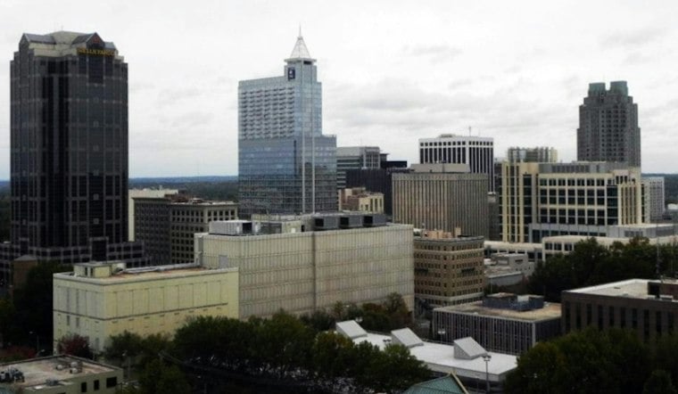
Raleigh’s Saturday forecast starts near 72 degrees with light winds, then turns unsettled: showers may develop by late morning, with thunderstorms more likely later in the afternoon and into the night.
Saturday’s Rain Could Build Into Evening Storms
Showers could develop between 9 a.m. and 2 p.m., with a better chance of showers and thunderstorms later in the afternoon. The high is expected to reach near 81 degrees before temperatures slide into the mid-70s. North winds are forecast at 2 to 9 mph.
This more specific Saturday timing updates Friday’s earlier wet-weekend outlook from Hoodline. The chance of precipitation rises to about 70% Saturday night, when thunderstorms are likely and another round of heavy rain could make for messy evening travel.
Rainfall May Vary Around Raleigh
Showers and thunderstorms are likely before 8 a.m. Sunday, followed by steady rain through the day. Raleigh’s high is expected to struggle to reach 69 degrees, with three-quarters of an inch to 1 inch of rain forecast during the daytime period. Rain is expected to continue Sunday night.
The strongest storm and localized flooding potential Saturday is expected south and east of Raleigh; lighter, steadier rain may be more common north and northwest of the city. Monday could begin with a little light rain before clouds linger. Sunny skies are forecast Tuesday, with a high near 69, followed by mostly sunny conditions and highs in the low to upper 70s through Friday.
How to Check Raleigh’s Flood-Hazard Maps
Raleigh’s mapped special flood-hazard areas can include city-prepared drainage-basin studies as well as FEMA-designated areas, according to the City of Raleigh Unified Development Ordinance. Those maps offer long-term context for checking whether a property is in a mapped flood-prone area; they do not predict flooding this weekend.





