

























































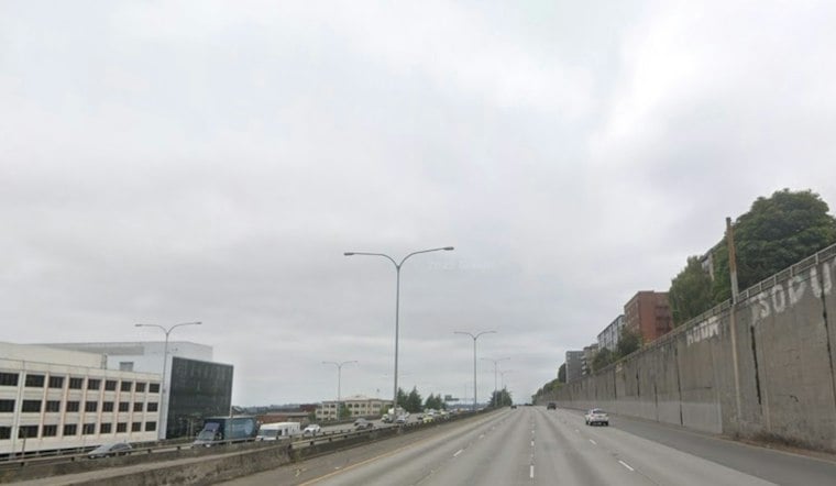
Late Friday morning, Seattle is seeing light rain and mist with temperatures in the upper 40s. Rain is expected to taper late afternoon or evening, easing ahead of Halloween weekend. The National Weather Service’s Seattle forecast reported 48 degrees and light rain at Boeing Field at 9:55 a.m. Friday.
Friday Rain Arrives Before Halloween Weekend
Rain is expected through much of Friday, tapering late afternoon or evening. The high should reach about 50 degrees, while winds remain light and variable. The National Weather Service’s updated Seattle forecast calls for rain, a high near 50 and light, variable wind.
The National Weather Service Seattle office says new amounts should generally stay below a tenth of an inch. Showers should fade quickly Friday evening, leaving partly cloudy skies and a low near 39 degrees. The forecast calls for rain to taper late afternoon or evening.
The showers are tied to a weakening upper-level low drifting southwest off the coast, with afternoon instability expected to increase rain across the interior. The National Weather Service’s Seattle office said the day’s forecast high of 51 degrees would be Seattle’s coldest since another 51-degree high on May 15; the current point forecast puts the high near 50. The Seattle forecast discussion says the low will weaken further before a ridge builds over the area Sunday.
Partly Sunny Weather Takes Over Saturday
Saturday brings a much better setup for Halloween plans, with partly sunny skies and a high near 52 degrees. Winds should be calm early, becoming north-northwest around 6 mph in the afternoon. The National Weather Service’s Saturday forecast gives that wind direction and speed.
Sunday looks slightly warmer, with a high near 54 degrees and another partly sunny afternoon. Patchy morning fog or low clouds could develop in the usual fog-prone spots before giving way to brighter skies.
A freeze warning is in effect for parts of the broader forecast area late Friday night into Saturday morning, but its listed locations are the lowlands of Lewis and southern Thurston counties and the Middle Chehalis River Valley—not Seattle. The National Weather Service’s watch list identifies those areas as the locations at risk.
Mild, Mostly Dry Start To Next Week
Monday should remain mostly cloudy with a high near 54 degrees, followed by highs in the mid 50s Tuesday and Wednesday, with some upper 50s Wednesday. Rain is possible Thursday.





