

























































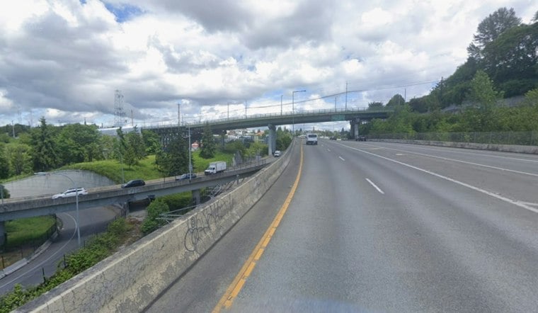
Seattle started Monday under dense fog, with visibility near a quarter-mile around Boeing Field and temperatures in the mid-50s. A Dense Fog Advisory remains in effect through noon, making the morning commute a slower, headlights-on affair before the clouds begin to lift.
The advisory covers Seattle, the Eastside, Shoreline, Lynnwood, and south Everett. The National Weather Service advises drivers to slow down, use headlights, and leave extra distance ahead; conditions should improve by late morning.
What the Boeing Field Reading Tells Us
A METAR identifies the airport and observation time and reports visibility, according to the National Weather Service. The near-quarter-mile figure at Boeing Field describes conditions at that reporting location, not every nearby road or neighborhood; by itself, it does not show how much visibility differed elsewhere in the Seattle area.
Sun Breaks Arrive This Afternoon
Monday afternoon will turn partly sunny with a high near 67 degrees. Winds should stay northerly at 4–8 knots (about 4.6–9.2 mph), and rain is not expected to be a factor.
Calm, Mild Weather Holds Through Thursday
Calm, Mild Weather Holds Through Thursday Tuesday will be partly sunny with a high near 65, followed by a mostly sunny Wednesday near 66 degrees. Thursday looks like the warmest day of the stretch, with sunshine and a high around 69, though overnight lows will settle into the low 50s, according to National Weather Service.
Rain Chances Return Friday
The dry run is expected to break Friday, when a chance of rain arrives after 11 a.m. with a high near 64; showers could linger into Friday night, while Saturday brings a smaller rain chance before 5 p.m. and a cooler high near 60.
Sunday should turn mostly sunny again, but only reach around 60 degrees. The new fog advisory and late-week rain turn mark a meaningful update to Hoodline’s earlier Seattle forecast, which had focused on a drier, warmer start to the week.





