

























































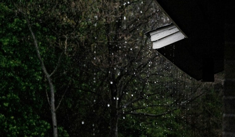
Patchy rain was nearby at 7 a.m., with temperatures around 64 degrees, but unsettled weather is expected to continue. Scattered showers and thunderstorms are possible through the day. Temperatures should peak near 69 degrees, with highs in the upper 60s by Friday.
Storm Chances Build Into The Afternoon
For Las Vegas, showers and thunderstorms are likely mainly before 3 p.m. South winds will run 5 to 14 mph, with gusts reaching as high as 23 mph.
The updated timing extends the unsettled pattern highlighted in Hoodline’s earlier forecast. Anyone heading out should keep plans flexible, especially around midday, when brief downpours, lightning and sudden gusts could make outdoor conditions change quickly.
Storms Fade Thursday Night
Isolated showers and thunderstorms could linger until about 7 p.m. Thursday, then skies should turn mostly clear overnight. The low will fall to around 55 degrees, with southwest winds gusting up to 18 mph.
Residents should avoid driving through standing water and move indoors if thunder is nearby. Desert storms can be brief, but they do not always stay polite about it.
Sunny Weekend Brings A Noticeable Reset
Friday looks sunny, with a high near 69 degrees and light north-northeast winds. Saturday should warm to around 72 degrees under sunny skies, though winds may become breezy.
Sunday brings another sunny day with a high near 73 degrees, followed by mostly sunny conditions Monday and Tuesday with highs around 75. The dry, seasonable pattern is expected to continue into Wednesday, when the high should again reach about 75 degrees.



