

























































Jacksonville is expected to be muggy Saturday, with periods of sunshine. By afternoon, the forecast turns stormy, with temperatures near 89, a heat index as high as 100, and an 80% chance of showers and thunderstorms.
Storms Build Through The Afternoon
The National Weather Service in Jacksonville says a few showers or thunderstorms could develop after 7 a.m., with the best timing for storms from midday to early afternoon farther inland and early to midafternoon closer to the coast. Rainfall could total 1 to 3 inches overall.
Coastal Flooding And Rip Currents Remain Weekend Hazards
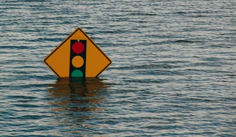
Coastal Duval County remains under a Coastal Flood Advisory through 4 p.m. Sunday, with minor flooding possible around the St. Johns River, parks, lots and low-lying roads. A high risk for dangerous rip currents continues through late Saturday night, so beachgoers should stay near lifeguards, follow posted warnings and avoid entering rough water.
The latest update follows a soggy stretch already covered by Hoodline, but Saturday brings a sharper afternoon thunderstorm window and a coastal advisory lasting into Sunday. The strongest severe-weather threat is expected farther inland across the Suwannee Valley and southeast Georgia, though Jacksonville could still see gusty winds and locally heavy downpours.
Dryer Weather Arrives Sunday Night
Sunday should be a transition day, with a 40% chance of showers and thunderstorms mainly before late morning and a high near 85. By Sunday night, skies should clear and temperatures fall to around 67, setting up sunny conditions Monday through Wednesday with highs near 87.
The dry stretch is expected to continue into Thursday, when Jacksonville should reach about 85 degrees under sunny skies. Friday looks partly sunny with a 5% chance of rain and a high near 88.
Drivers should allow extra time near flood-prone areas, avoid water of unknown depth and never drive around barricades. Anyone heading to the beach should check conditions first and leave the water immediately if lifeguards or beach patrol issue warnings.





