

























































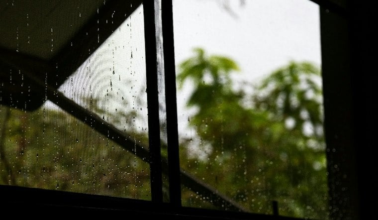
Washington is starting Sunday with light rain and temperatures in the low 60s, but the damp morning is only the opening act. Showers will continue through the day, with thunderstorms becoming more likely late Sunday and another round of wet weather possible overnight.
Rain And Storms Take Over Sunday
The District could see 1 to 2 inches of rain Sunday, with a high near 70 and east winds running 9 to 16 mph. Gusts may reach 26 mph, making umbrellas and exposed outdoor plans a less-than-great combination.
The National Weather Service says the remnants of Isaias may also bring organized thunderstorms and a tornado threat to parts of the broader Baltimore-Washington region. The greatest severe-weather concern is expected south and east of the Blue Ridge and south of Route 50, but residents across the metro should stay alert for rapidly changing conditions.
Monday Starts Wet Before Skies Clear
Showers could linger into early Monday before tapering off, followed by partly sunny skies and a high near 72. Monday night should turn mostly clear, with temperatures dipping to around 57 and lighter northwest winds.
The forecast then makes a sharp turn toward summerlike warmth. Tuesday is expected to be sunny with a high near 79, followed by another sunny day Wednesday with temperatures reaching about 81.
Cooler Weather Returns Later In The Week
Thursday looks partly sunny and cooler, with a high near 70, while rain chances increase again Thursday night and Friday. Friday should reach about 71 with a chance of showers, and Saturday turns noticeably cooler, with a high near 60 and a slight chance of rain.
The latest outlook is a substantial update from Hoodline's earlier forecast, with the storm threat, rainfall totals and wind concerns now more clearly defined. For Sunday, drivers should watch for ponding on roads and avoid flooded areas, while anyone spending time outdoors should have a way to receive weather alerts.





