

























































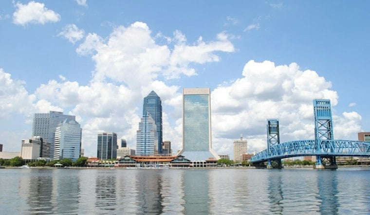
Jacksonville is starting Tuesday with mostly cloudy skies and temperatures in the mid-60s, but the forecast quickly turns brighter. Most of the city should reach about 76 degrees under mostly sunny skies, while northeast winds make the coast feel considerably less calm.
Afternoon Winds Pick Up Across Jacksonville
Northeast breezes and gusty conditions are expected, especially near the coast. The area should remain mostly rain-free, while temperatures may ease back into the mid-70s during the afternoon.
Overnight temperatures are expected to remain in the 60s in parts of the region.
Coastal Flooding And Dangerous Surf Continue
The bigger concern remains along the coast and around the St. Johns River basin, where a Coastal Flood Warning is in effect through early Friday. The National Weather Service in Jacksonville says moderate flooding can occur around high tide, with low-lying roads and property vulnerable to inundation.
A High Surf Advisory also remains in effect at Northeast Florida beaches through Thursday night, with dangerous rip currents expected. Swimmers should stay near a lifeguard, and drivers should never go around barricades or drive through water of unknown depth.
Wednesday And Thursday Bring More Wind
Wednesday, coastal areas of northeast Florida could see gusts of 30 to 35 mph, with temperatures near the coast in the mid-70s.
Thursday stays breezy with a high near 78 degrees, with scattered showers possible onshore. Friday looks mostly sunny near 78 degrees, although northeast winds will remain noticeable.
Weekend Rain Chances Rise
Saturday brings a 30% chance of showers after 8 a.m., partly sunny skies and a high near 80 degrees. Sunday is the unsettled day of the extended forecast, with a 50% chance of showers and thunderstorms and a high near 79.
Showers could persist along the I-95 corridor Monday. The latest coastal warning package is a substantive update from Hoodline's Sunday forecast, keeping flood and surf hazards in place while the city gets a brief sunny break Tuesday.




