

























































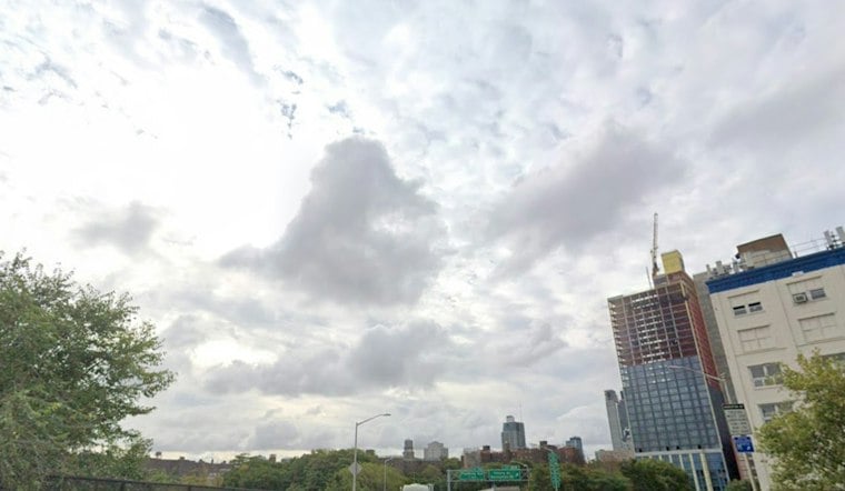
New York City started Wednesday with clear skies and temperatures in the low 50s, but the calm look is misleading. Northeast winds will strengthen through the day, with gusts near 30 mph, while a coastal flooding concern develops around the late-afternoon and early-evening high tide.
The city should stay dry and mostly sunny, with a high near 62 degrees. The latest update builds on Tuesday’s offshore nor’easter forecast, but adds a more immediate shoreline concern as water piles up in vulnerable bays and harbor areas, as outlined in Tuesday’s forecast.
Coastal Flooding Risk Builds Around High Tide
The National Weather Service says minor coastal flooding is possible in Nassau County’s south-shore back bays and western Great South Bay. Minor coastal flooding is expected in lower New York Harbor during the late-afternoon or early-evening high tide, with localized flooding possible near Newark Bay and Great Kills Harbor. Most locations should remain below flood benchmarks Thursday, though additional statements or advisories are possible, according to the National Weather Service.
For most New Yorkers, the main day-to-day issue will be wind rather than rain. Secure loose outdoor items, take extra care near exposed waterfront paths and expect a brisker feel than the thermometer suggests.
Sunny Weather Holds Through The Weekend
Thursday will be sunny and a little warmer, reaching about 64 degrees, before temperatures top out around 61 Friday under clear skies. Winds should ease by Saturday, which is forecast to be sunny with a high near 59.
The dry stretch continues through the weekend, with highs near 65 Sunday and temperatures rebounding toward 69 Monday. Nights will remain noticeably cooler, with lows in the 40s Monday and Tuesday nights.



