

























































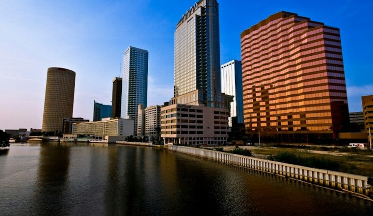
Tampa gets a sunny, rain-free Tuesday with temperatures climbing to about 88 degrees, followed by a mostly clear night near 70. The calm, comfortable stretch is set to hold through midweek before showers, thunderstorms and stronger winds return late Friday.
Sunny Skies Hold Through Thursday
The National Weather Service expects another sunny day Wednesday, with a high near 88 and a low around 72 Wednesday night. Thursday should be nearly as warm and mostly sunny, with only an 11% chance of rain and an overnight low near 73.
Through midweek, northeast winds are expected to stay below cautionary levels. That makes the next few days a solid window for outdoor plans, errands and patio time before the forecast takes a more familiar Florida turn.
Storm Chances Rise Friday Afternoon
Scattered showers and thunderstorms could develop after 2 p.m. Friday, with a 40% chance of rain and a high near 88. Storms may continue into Friday evening before skies turn partly cloudy, with temperatures settling near 73 overnight.
The latest outlook is a wetter and windier update to Monday's Hoodline forecast, which also called for a dry start followed by a stormier finish. Saturday brings a high near 82, with possible isolated afternoon showers and thunderstorms, while northeast winds could gust as high as 24 mph.
Breezier Weekend Weather
Sunday looks mostly sunny, with a chance of an afternoon shower or thunderstorm and a high near 80. Northeast winds may run from 14 to 21 mph, making the weekend feel noticeably breezier even as rain chances remain scattered.
No watches, warnings or advisories are listed for Tampa or nearby Gulf waters. Drivers and outdoor planners should have mostly clear conditions through Thursday, then keep an eye on changing skies and lightning risks from Friday afternoon through the weekend.





