

























































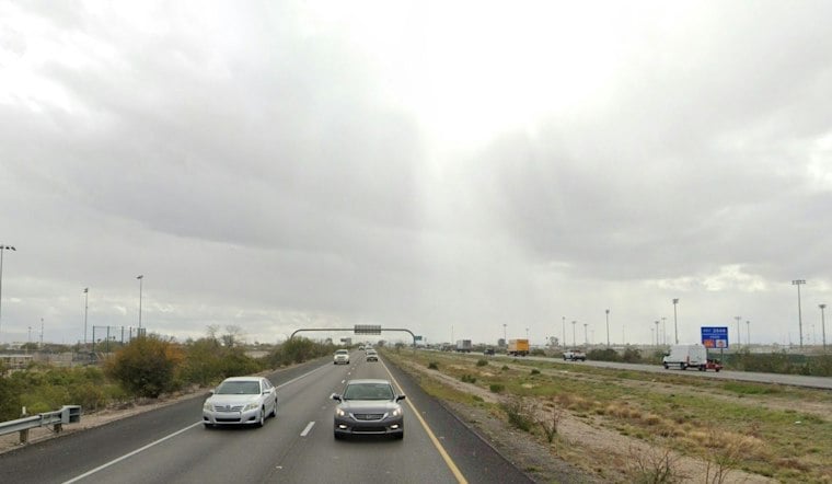
Tucson started Saturday with light rain, but the day should offer a brief break before a much wetter pattern moves in. Temperatures are expected to climb from the low 60s early to around 79 degrees this afternoon, with partly sunny skies and only a slight chance of a shower before evening.
That quieter stretch will not last. Showers become likely Saturday night, and the National Weather Service has issued a Flood Watch for the Tucson metro area and much of southeast Arizona from 11 p.m. Saturday through 5 a.m. Monday.
Heavy Rain Arrives Sunday
Sunday is expected to be the roughest day of the weekend, with showers and thunderstorms, cloudy skies and a high near 74 degrees. South winds of 7 to 13 mph could gust over 40 mph, especially within convective lines, adding a little extra drama to an already soggy forecast.
The National Weather Service says valley locations could receive roughly half an inch to 1.75 inches of rain, while mountain areas may see 1 to 3 inches or more. The National Weather Service warns that runoff could cause flooding in urban areas, poor-drainage spots, low-water crossings, rivers, creeks and washes.
Showers Linger Into Monday
Sunday night remains wet, with additional showers and thunderstorms likely and lows near 58 degrees. Any lingering precipitation should come to an end by Monday afternoon for most locations.
Conditions should settle down Monday night, followed by mostly clear skies Tuesday and sunny weather Wednesday. For weekend plans, the safest bet is to finish outdoor errands Saturday afternoon and avoid flooded roadways or low-water crossings once the heavier rain arrives.





