

























































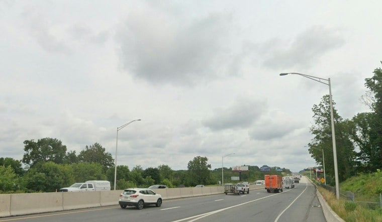
Rain was forecast to become likely after 7 a.m. Thursday across the Allentown area, with temperatures in the low 60s, as the Lehigh Valley headed for a warm but soggy day. Rain and patchy fog are expected to linger, with temperatures climbing near 72 before another wet stretch arrives Thursday night.
Thursday Brings Warmth, Rain And Fog
The latest National Weather Service forecast says many areas will stay mainly dry Thursday, while rain probabilities are generally below 30% along and southeast of I-95. South winds of 5 to 10 mph could gust as high as 25 mph, while rain may become more intermittent around midday before returning at times late in the afternoon.
That combination means a warm but messy commute, especially where fog and wet pavement reduce visibility. The high near 72 degrees will feel more like a brief November loophole than a lasting warmup, with clouds keeping the day gray despite the mild temperatures.
Thursday Night Could Be The Wettest Stretch
Rain is expected before 11 p.m. Thursday, followed by a chance of rain and patchy fog through early Friday. Temperatures will only fall to around 59 degrees, and rainfall totals could reach a quarter to half an inch overnight.
The update adds more concern for locally heavier rain late Thursday into Friday than earlier outlooks suggested. It follows Hoodline's earlier forecast, which also flagged rain and fog but had less detail on the overnight rainfall potential.
Cooler Weekend Weather Arrives
Friday brings more rain and mostly cloudy skies, with a high near 70. Saturday looks mostly sunny with a high near 62, while Sunday should be mostly sunny near 60.
By Monday and Tuesday, the forecast turns brighter, with sunny conditions and highs near 58 Monday and 63 Tuesday, though unsettled weather could continue into early next week, with opportunities for showers. Overnight lows will dip into the upper 30s and low 40s, so the region's warm stretch will end with a decidedly more seasonal feel.



