

























































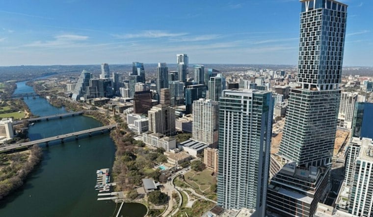
Austin is starting Thursday with clear skies and calm air before temperatures surge into the low 80s. The city gets one more warm, mostly summerlike afternoon, but a dry cold front will cross the region later today and change the feel by tonight. No weather advisories are posted.
Sunny Thursday Gives Way To Breezy Front
Thursday’s high is expected near 82, with light southerly winds and no rain. The front should reach the Austin area late this afternoon or evening, followed by a wind shift and gusts of 25 to 35 mph overnight as temperatures fall to 55 to 56 degrees. The National Weather Service expects Friday to be quieter and cooler, with sunshine, north winds and a high near 75.
Weekend Rain Chance Builds
Clouds thicken Saturday, when rain showers become possible after noon and temperatures top out around 71. The bigger wet-weather window arrives Saturday evening into Sunday morning, when showers are likely, with rain chances of 40% to 60% across the area Saturday evening.
For the Austin metro, the weather service says the broader wet stretch could deliver roughly a quarter-inch to an inch of rain. Sunday stays cool and cloudy, while Monday keeps a 20% to 30% rain chance before drier weather returns Tuesday.
Warmer Weather Returns Next Week
Tuesday should be dry with a high around 70, and Veterans Day looks warmer, with highs in the low 70s. In other words, Austin gets a classic Texas weather plot twist: shorts Thursday, umbrellas by Saturday and a springlike rebound by midweek.





