

























































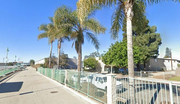
Seawater backed up through storm drains and pooled on both sides of Victoria Avenue near Hobie Beach in late October, after tides at Channel Islands Harbor climbed past 8 feet for the first time this season. Harbor officials are now moving sand and rock into low-lying areas, buying sandbags, and working with the city of Oxnard on a possible fix for the drainage system, all while bracing for tides that could climb even higher before winter is out.
According to the Channel Islands Harbor, tides reached roughly 7.7 feet on Oct. 26, then topped 8 feet the following day. Harbor Director Michael Tripp said the tides that Tuesday hit about 8 feet 2 inches, exceeding the 8-foot maximum that the harbor's tide gauge was designed to record, according to VC Reporter. Tripp said high tides had already been running larger than expected for more than a month before that crest.
Water Pushes Onto Victoria Avenue
Ocean water flowed onto Victoria Avenue near Kiddie and Hobie beaches when the tide crested on Oct. 27, per VC Reporter, coming up through drain pipes and putting significant water on the roadway. Tripp said water reached the area in front of a couple of houses across from Hobie Beach but did not get inside them, and he reported seeing no water enter any homes or businesses. He also said waves at Hollywood Beach and Silver Strand Beach, located about a mile north and a mile south of the harbor respectively, never got close to houses there.
The harbor's channels are generally shielded from the roughest wave action during incoming storms, and the harbor itself was designed to prevent storm surges, per VC Reporter. But Tripp warned that simultaneous king tides and strong storms or winds could still cause flooding, a risk officials are now actively trying to get ahead of.
Sand, Rock, and a Drainage Fix Under Discussion
Crews have placed 75 tons of rock on low-lying Kiddie Beach and added sand on top to raise its elevation, according to VC Reporter. The harbor department is also moving sand and rock into low-lying sections near Hobie Beach and purchasing sandbags, per the Channel Islands Harbor's own account. Ventura County officials are surveying beaches around the harbor to document their width and height before storms hit, and plan to resurvey after every major storm; the harbor's beaches currently run about 300 feet wide and 3 to 5 meters high based on GIS analysis, and are not yet being overtopped, VC Reporter reports.
On the drainage front, the harbor department is working with Oxnard on the Victoria Avenue storm-drain system, and the city may install specialized valves designed to prevent seawater from flowing backward through the pipes, the harbor's director's message states. Ventura County is also working with its agencies and the city of Oxnard more broadly to strategize and minimize impacts on residents, according to VC Reporter.
Dredging and Rising Tide Forecasts Ahead
Separately, the U.S. Army Corps of Engineers is scheduled to begin its routine maintenance dredging operation at Channel Islands Harbor in November, according to the harbor's director's message. The operation, expected to start in mid-November, calls for moving an estimated 1.5 million cubic yards of sand, with the dredger expected to remain on site through the end of February, per vcstar.com.
Harbor projections say November and December tides could run nearly a foot higher than what was seen in late October. VC Reporter reports that Tripp expects high tides around the Wednesday before Thanksgiving and on Christmas Eve, both forecast to exceed 8 feet, with warm water and a slow-moving Kelvin wave adding more than a foot to normal tide levels. NASA's Josh Willis told the outlet local sea level is running about a foot to a foot and a half higher than a regular tide would produce, attributing the boost to El Niño, a marine heat wave, a Kelvin wave, and long-term global warming layered on top of each other. Tripp said forecasts point to an incredibly strong El Niño this year, with storms expected to start in January, and harbor staff are preparing for more extreme tides and potentially stormy weather through the winter.
Flooding Already Hitting Southern California Harder Elsewhere
The stakes of that preparation are visible elsewhere on the Southern California coast. Huntington Beach declared a state of emergency after more than 100 homes and businesses sustained water damage, per VC Reporter, while the Los Angeles Times reports that 114 homes and other structures there were damaged by high tides and flooding, with six homes yellow-tagged. The swells also flooded parts of Pacific Coast Highway, forcing the closure of multiple stretches of the road, the Times reported. Long Beach suffered the destruction of several homes and a boardwalk, according to VC Reporter. Cities up and down the coast have responded with sandbags, water pumps, sand berms, and drainage canals, the Times noted.
Federal forecasters are also flagging a wider window of risk. NOAA predicts above-normal high tides from Nov. 22-27 and Dec. 22-26, bringing an increased risk of flooding to the state, according to NOAA Ocean Service. Tripp, who spent many years with the Los Angeles Department of Beaches and Harbors before becoming Channel Islands Harbor director in 2021, is now overseeing a season that has already tested the harbor's defenses once — with forecasters warning the next tests could come soon.





