

























































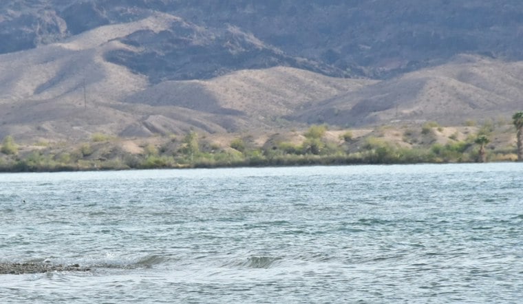
The Chemehuevi Indian Tribe has unveiled a sweeping master plan that would reshape its reservation on the California side of Lake Havasu over the next 50 years, with new housing, schools, a yacht club and even a cross-lake ferry route all on the drawing board. Construction on the plan's first project is expected to begin in 2027.
The proposal, described by Indian Gaming, would guide development across the reservation over five decades. The report puts the reservation at 34,000 acres; the architecture firm behind the plan, AO Architects, lists the project as covering 32,650 acres of tribal land along the lake. The plan is organized around social, physical and emotional well-being and divides the area into four zones.
A Town Center, Housing and Schools
The most concentrated development would be in the Basin, where the proposal places housing, schools, civic and government buildings, cultural spaces, and sports and recreation facilities. Its town center would use concentric circles inspired by Chemehuevi woven basket traditions, according to the report.
The plan also envisions open spaces, parks, event lawns and native landscaping in the Wash, intended to link developed areas and help manage stormwater. Along the lake, the Shore zone would expand tourism and recreation: proposals include converting an existing casino into a yacht club, as well as adding restaurants, bars, hotels and marina facilities.
The Echo zone, in the Chemehuevi Mountains, is designated mainly for conservation. The proposal also allows for selected uses there, including medical offices, an industrial facility, airport improvements and an emergency evacuation site, the report says.
Housing and Education Closer to Home
The housing mix ranges from short-term rentals for seasonal workers and tribal rentals to affordable and for-sale homes, ranchettes and multigenerational clusters. The plan also links the proposed tourism and commercial activity to job opportunities and the possibility of tribal members starting businesses.
The proposal would bring schools closer to reservation residents. Students now travel about 45 minutes by bus to school on desert roads; the plan calls for kindergarten-through-sixth-grade and junior high campuses within walking distance of residential areas. It also says the schools could support mentorship programs and apprenticeships with local businesses.
Restoring Farmland and Reckoning With the Dam
The proposal sets out to restore about 2,000 acres in the northern and western parts of the town center for agriculture, renewable energy and water storage, despite the difficulty of cultivating existing reservation soil. The effort also points to a loss of farmland when Lake Havasu was created: ProPublica reports that the lake flooded about 7,000 acres of fertile Chemehuevi land, while the Victor Valley Daily Press has reported that almost 8,000 acres was underwater by 1940, after Parker Dam was built.
The plan identifies sacred sites, ancestral rock art, steep mountain terrain and natural washes for protection or limited development rather than construction.
Transport Links and Development
To support movement around the reservation and lake, the proposal includes improvements at the intersection of U.S. Route 95 and Lake Havasu Road, additional marinas and a north-south ferry route across the lake. It also calls for expanding Chemehuevi Valley Airport to handle more private, commercial and freight flights.
The Tribe would retain ownership of the land under the proposal, while outside commercial developers could potentially build on leased parcels. The reservation has also been the subject of a separate renewable-energy effort: Energy Storage Media reported on a university-industry-community team, including UC Riverside and SunPower, working with tribal community members to build a microgrid.
Water, Leasing and a Regional Example
The Bureau of Reclamation’s calendar-year 2025 table lists the Chemehuevi Tribe’s approved diversion and annual entitlement at 11,340 acre-feet each. That current-year figure does not establish water availability for the plan’s proposed agriculture or storage. If the Tribe pursues outside development on leased land, a 2016 Bureau of Indian Affairs notice says approved HEARTH Act regulations authorize it to enter into business site leases without further BIA approval; the authority does not mean any particular project or lease has been approved.
A separate regional example is the Colorado River Indian Tribes’ tourism development in Parker, Arizona. A 2018 Bureau of Reclamation study says the Tribes opened BlueWater Resort and Casino over the preceding two decades to attract cultural and recreational visitors. That example does not predict the outcome of the Chemehuevi Tribe’s proposal.
For now, the master plan remains a proposal rather than a built reality, with the first construction tied to it expected to break ground in 2027.





