

























































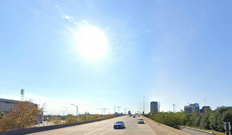
The National Weather Service forecasts sunshine this afternoon, with a high near 58 and north wind around 7 mph, making for an easy-weather day across the city. The afternoon forecast shows the latest outlook.
Sunny Tuesday Leads Into A Slow Warmup
The National Weather Service outlook points to widespread below-freezing temperatures inland Tuesday night. Wednesday stays sunny with a high near 61, while Thursday reaches about 64 under continued dry conditions.
Winds remain gentle through midweek, with a north wind around 7 mph Tuesday afternoon and light, variable winds Wednesday. Inland communities could see colder mornings, including readings below freezing.
The National Weather Service’s regional outlook calls for sunshine and dry weather to continue through the workweek, with temperatures gradually rising. It also flags widespread below-freezing temperatures inland tonight, a reminder that the warmer afternoon trend will not prevent a sharp overnight chill in parts of the region. The Wakefield office’s Hampton Roads briefing highlights both parts of that pattern.
Warm Weekend Brings A Shower Chance
The National Weather Service discussion points to a warm weekend, with dry conditions expected Saturday and a chance of rain Sunday. The latest Norfolk forecast outlines the weekend outlook.
No watches, warnings or advisories are posted for the area, and the broader pattern remains a quiet one: dry, warmer afternoons through the week, with the weekend rain chance still carrying some uncertainty.
The weekend shower chance is not accompanied by current watches, warnings or advisories for Virginia. Alert status can change as the forecast evolves, so the Sunday rain outlook and current alerts are separate things to monitor.





