

























































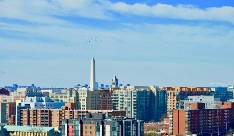
Washington is waking up Tuesday to pockets of patchy fog, light winds and temperatures in the 40s, but the morning chill will not stick around. The fog may linger before 9 a.m. before mostly sunny skies push the District to a warm 72 degrees.
Fog Clears, Then November Looks Suspiciously Like Summer
South winds will stay light as temperatures climb quickly through the morning. The National Weather Service expects another mild day Wednesday, with patchy fog early, mostly sunny skies and a high near 75.
That makes Tuesday and Wednesday the best stretch for outdoor plans, even if the early hours call for a light jacket. No watches, warnings or advisories are posted for the District, and rain chances remain near zero through Wednesday afternoon.
Rain Chances Build Thursday And Friday
The pattern changes Wednesday evening as clouds thicken and a slight chance of rain develops. Thursday could bring showers before early afternoon, with mostly cloudy skies and a high near 75.
Rain becomes more likely Thursday night, with showers likely. Friday could bring rain, with mostly cloudy skies, a high near 72 and an 80% chance of precipitation.
The latest outlook adds more detail to Hoodline's earlier D.C. forecast, especially around the timing of the late-week rain. For commuters and anyone with outdoor plans, the practical takeaway is simple: enjoy the warm, dry middle of the week, then keep an umbrella nearby Thursday and Friday.
Weekend Skies Improve
Conditions should settle down Saturday, which is expected to be mainly dry, with highs in the low to mid-60s. Sunday looks mostly sunny and cooler, with a high near 66, although another chance of rain arrives Sunday night and could linger into Monday.
Monday's forecast calls for a chance of rain and a high near 61, setting up a cooler start to the following week after Washington's brief run of early-November warmth.




