

























































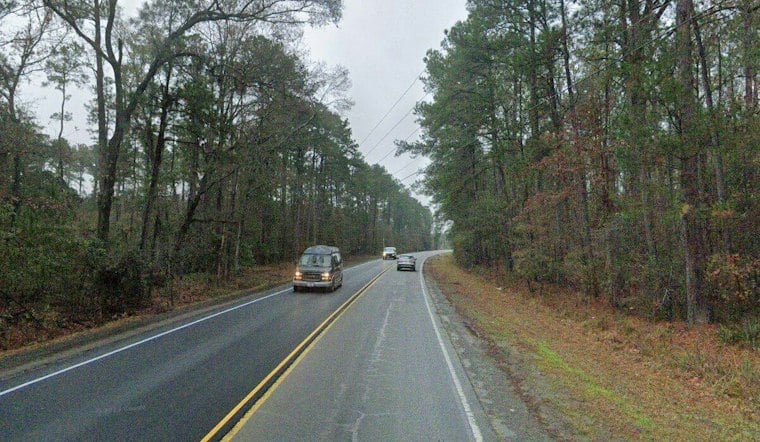
Charleston is starting Wednesday with cloudy, muggy conditions and temperatures around 68 degrees, but the gray morning should give way to a partly sunny afternoon near 80. Patchy fog should dissipate after sunrise, setting up an unusually warm November day.
Fog Gives Way To A Summerlike Afternoon
A special weather statement was in effect through 7 a.m. for patchy dense fog across parts of the Lowcountry, with visibility occasionally dropping to a quarter-mile, according to the National Weather Service. Drivers should slow down, use extra caution and leave more room between vehicles while the fog lingers.
Temperatures should climb through the 70s by late morning as winds at KJZI, KCHS and KSAV turn southeast and increase to 10 to 15 knots by midmorning. Tonight will turn mostly cloudy with a low around 67, so the evening will stay mild rather than jacket-heavy.
Warmth Holds Before Friday Showers
Thursday looks mostly sunny with a high near 81, keeping the unseasonable warmth in place. Friday brings the week’s better rain chance, with a weakening precipitation band possibly moving into the area during the day and a few thunderstorms not ruled out, though National Weather Service forecasters say severe weather is not expected.
The forecast turns drier and cooler for the weekend, with sunny skies and a high near 78 Saturday, followed by a mostly sunny 71-degree Sunday. Monday is forecast to be sunny near 70, while Tuesday is expected to be mostly cloudy with a high near 76.
That sharper fog-to-sun setup updates Hoodline's Tuesday forecast, which first highlighted the week’s warm stretch and late-week shower threat.



