

























































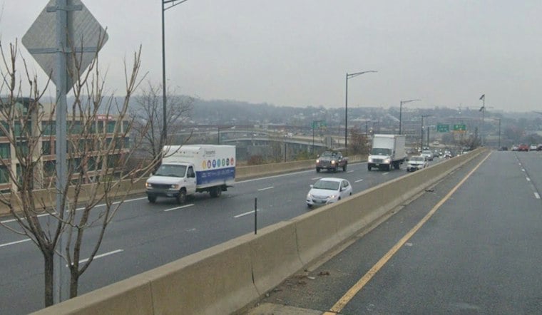
Fog and mist are hanging over Washington Thursday morning, with temperatures around 52 degrees before a gray, showery day climbs to about 63. Showers are expected mainly from about 1 to 7 p.m., as a mild start gives way to a much brisker stretch.
Showers Arrive Before The Evening Chill
Thursday’s rain should be light overall, with one-tenth to two-tenths of an inch expected in the District. Winds are expected to shift northwest after about 7 p.m. Thursday and strengthen. Temperatures will fall into the mid-40s by Friday daybreak, with northwest gusts to about 23 mph, according to the National Weather Service.
Friday Turns Cooler And Windier
Friday could start with a few leftover showers before 1 p.m., then remain under a broken-to-overcast stratocumulus cloud deck with a high near 51. Northwest winds will strengthen, with gusts around 35 mph, so the umbrella may be less useful than a jacket that can stay put.
Cloudy Weekend, Cold Nights
Saturday could bring light precipitation under a broken-to-overcast stratocumulus cloud deck, with a high near 50, while Sunday reaches about 52 under a broken-to-overcast stratocumulus cloud deck. Overnight lows could dip to about 37 Friday night, making early-morning errands noticeably colder.
Dry Stretch Builds Next Week
Dry weather is expected into the middle of next week, with plentiful daytime stratocumulus clouds through Monday and a warming trend beginning Wednesday.
The latest update sharpens the timing from Hoodline’s earlier D.C. forecast, with showers now expected mainly Thursday afternoon and winds strengthening Friday and Saturday.





