

























































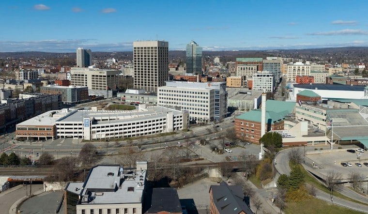
Worcester is starting Saturday near freezing under cloudy skies, with skies potentially remaining mostly cloudy or overcast and a high near 45 degrees. The bigger story is what follows: a long stretch of dry weather, cold nights and increasingly mild afternoons that will push into the upper 50s and low 60s by late week.
The forecast marks a clean break from the wet, wintry end to the week. Hoodline's earlier forecast had called for light snow and fog on Friday, then a mostly cloudy or overcast Saturday; the latest outlook now favors a brighter, quieter day.
According to the National Weather Service, the aviation forecast calls for northwest winds of 5 to 10 knots on Saturday, with clouds becoming more noticeable from midday into the afternoon. Rain chances remain minimal, making this a decent window for errands, walks and outdoor plans before temperatures slide back toward the upper 30s by evening.
Saturday night will turn partly cloudy with a low near 29 degrees. Sunday brings the weekend's better outdoor setup, with sunny skies, a high around 47 and a light northwest breeze.
The Warm-Up Arrives By Midweek
Monday has a high around 49 degrees, followed by Tuesday highs in the mid-50s. The NWS forecast says afternoon highs will be in the 60s by Wednesday and beyond, with Thursday and Friday potentially reaching around 61 under sunny to mostly sunny skies.
The tradeoff for that late-week mildness is a run of cold mornings, with overnight lows dipping into the upper 20s and 30s. No local watches, warnings or advisories are listed for land areas of Massachusetts, though Small Craft Advisories are listed for coastal waters; early risers will still want a warm layer while afternoon plans can take advantage of the unusually dry November stretch.





