

























































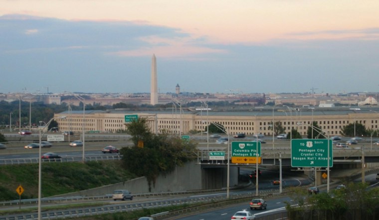
Washington is starting Saturday, November 14, under cloudy skies and temperatures in the low 40s, with a brisk northwest wind already setting the tone. The District should climb to around 52 degrees this afternoon, but gusts near 30 mph will make the day feel sharper than the thermometer suggests.
Afternoon Winds Make It Feel Colder
Partly sunny breaks are expected through the afternoon, with northwest winds running 8 to 15 mph and strongest gusts arriving later in the day. Dry weather is expected across D.C., with no rain in the forecast.
Saturday night, November 14, turns mostly clear with a low near 39, followed by a mostly sunny Sunday, November 15, and a high near 53. The District has no posted warning, although freeze warnings remain in effect through 8 a.m. Saturday for parts of Maryland and Virginia, according to the National Weather Service.
That is a notable turn from the rain-and-cold setup outlined in Friday's forecast. As Hoodline reported, the incoming change was the story then; now the main local inconvenience is wind, with clear and cold nights taking over.
Warmup Arrives Midweek
After a chilly start to the workweek, temperatures rebound to 56 Monday, November 16, 59 Tuesday, 63 Wednesday, 65 Thursday and 66 Friday. Skies stay sunny or mostly sunny, and the National Weather Service says dry weather should continue through the period, making this a good stretch for outdoor plans once the weekend gusts ease.
Potomac Winds Stay Rough
Boaters should take extra care: a Small Craft Advisory covers portions of the Potomac through 6 p.m. Sunday, November 15, with gusts around 20 to 30 knots. For land-based plans, winds should ease substantially by Monday, but overnight lows in the 30s will keep mornings firmly in late-fall territory.



