

























































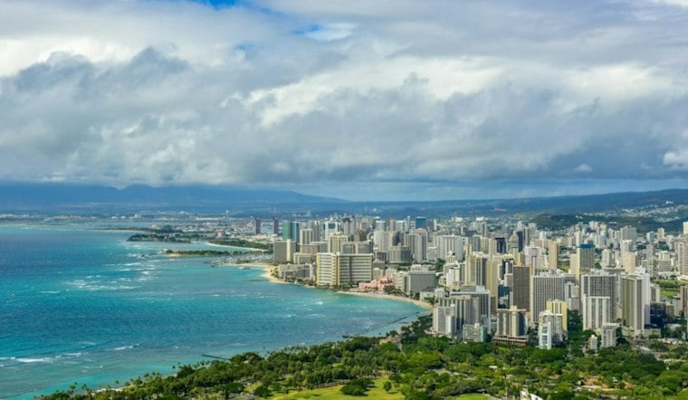
Honolulu is starting Monday under mostly cloudy skies, with morning trade-wind showers. Temperatures will climb to about 84 degrees, but northeast winds gusting as high as 35 mph will make the day feel noticeably brisker near exposed coastlines.
Showers Fade Before Noon
Trade-wind showers are expected, with passing showers continuing through the week and becoming more common overnight. The forecast calls for less than a tenth of an inch of rain.
Trade Winds Stay Strong Through Midweek
Morning northeast winds averaged 10 to 20 mph, with moderate to strong winds forecast. Winds are expected to remain moderate to strong through the week, and Monday's high is forecast near 84 degrees.
The National Weather Service expects the breezy pattern to continue through the week, with isolated or scattered showers favoring windward and mountain areas and becoming more common overnight. Passing showers are expected through the week, most numerous at night.
High Surf And Small Craft Advisories Continue
Oahu's North Shore and Waianae Coast remain under a High Surf Advisory through 6 p.m. Monday, as north- and west-facing surf gradually eases. A Small Craft Advisory covers Oahu waters through 6 p.m. Tuesday, and east-facing shores should stay choppy while the trade winds hold.
What To Expect Later This Week
Surf is expected to fall below advisory levels Monday night and become small by Wednesday, but another northwest swell may push north- and west-shore surf back toward advisory levels Thursday and Friday. South-shore surf will stay tiny for much of the week; passing showers are expected through the week, most numerous at night.




