

























































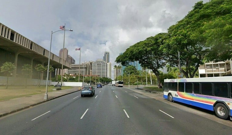
Honolulu is in for a warm but blustery Sunday. Isolated showers are possible under mostly sunny skies, with a high near 84 degrees and northeast winds of 15 to 25 mph, the Honolulu Metro forecast says.
Showers Stay Brief As Trades Push Through
Sunday should be mostly sunny with isolated showers. Showers favor windward and mauka areas, though a few could spill into leeward neighborhoods; tonight should be partly cloudy with a low around 75 and northeast winds of 15 to 25 mph, the Honolulu Metro forecast and forecast discussion show.
The strongest breezes will make exposed beaches, ridgelines and open outdoor areas feel considerably windier than the thermometer suggests. The latest outlook builds on Saturday’s Honolulu forecast, with passing showers now sharing the spotlight with the trade winds.
The breezy pattern is expected to persist through Sunday as high pressure north of the islands and Tropical Storm Pena passing well to the south maintain the trade winds. The current airport observation at 8:53 a.m. HST was 79 degrees, with northeast winds at 14 mph and gusts to 22 mph. The broader pattern favors showers on windward and mauka slopes, with only a few reaching leeward areas, as the National Weather Service discussion describes.
Boaters Face Rougher Water
A Small Craft Advisory remains in effect until 6 a.m. Monday for most Hawaiian waters, including Oahu’s windward and leeward waters. East-facing shores should stay choppy under the persistent trades, so boaters and anyone planning extended time near exposed shorelines should check conditions before heading out.
Surf conditions add another shoreline concern beyond the choppy trade-wind waves. A north-northwest swell is forecast to peak Sunday morning, bringing surf just below advisory levels before easing into Monday; a larger swell arriving late Wednesday into Thursday could bring surf near warning levels. East-facing shores are expected to remain rough, at or above seasonal average, through the weekend, according to the Honolulu-area surf outlook.
Sunnier Weather Returns, Then Winds Rebound
Monday looks sunny and breezy with a high around 84 degrees, followed by mostly sunny skies and a high around 84 Tuesday as winds ease to 15 to 20 mph. Trades are expected to strengthen again Wednesday, with mostly sunny skies and a high around 83. Thursday is forecast to be partly sunny and breezy, with a high around 83 and isolated showers. See the Honolulu Metro forecast and NWS outlook.
Friday should be mostly sunny and breezy, with a high around 83 degrees and northeast winds of 15 to 20 mph; isolated showers are possible after midnight, according to the Honolulu Metro forecast. For Sunday plans, a light rain layer and a firm grip on loose outdoor items should be enough for most land-based activities, while windward and mauka travelers should be ready for quick changes.





