

























































Philadelphia now exists as a scrollable grid of tiny digital buildings, trees, and roads, thanks to a project called Pixel Philly built by a newspaper data editor with apparently a lot of free time and an isometric art style. The map recreates more than 500,000 buildings and over 150,000 street trees across the city, along with its roads and rail lines, rendered in an isometric style that invites readers to go hunting for their own neighborhoods.
The project comes from Stephen Stirling, who created Pixel Philly and posted a thread this week introducing the map and explaining why he made it. As Crossing Broad reports, the map covers each of the city's 500,000-plus buildings and more than 150,000 street trees, in addition to the roads and rails crisscrossing Philadelphia.
A Writer's 30-Minute Scroll Through His Own Life
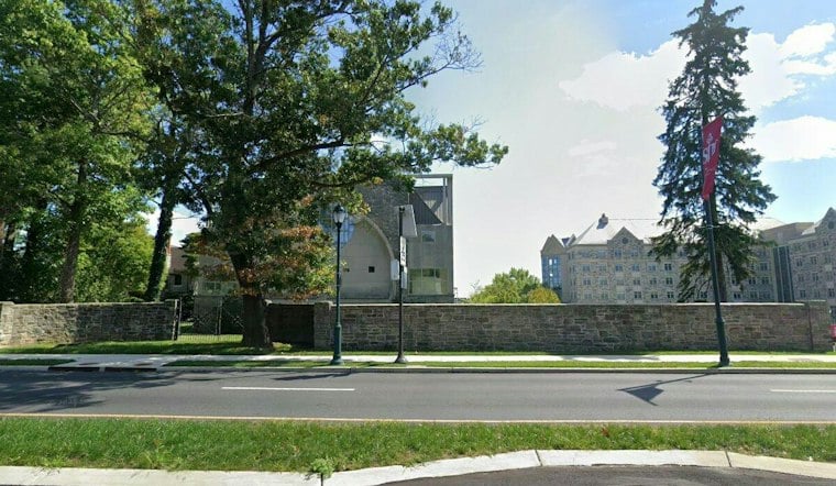
Crossing Broad writer Matt Schultz spent roughly half an hour scrolling through the map, calling it a pleasant Friday activity before walking readers through what he found. Schultz first highlighted Saint Joseph's University, including Hagan Arena, which he notes is the site of the soon-to-be-named Martelli Court, and he wrote that the rendering looks pretty good.
From there Schultz traveled to his old stomping grounds, pointing the map toward Origlio Beverage in Northeast Philadelphia, where he worked the night shift answering phones for a year after college. The map also captures his former college house in Manayunk, which he described as varying shades of brown in real life. The pixelated version, however, took some creative liberties — the digital house has 21 windows on just one side, while Schultz figures the actual house had three windows total.
Stadiums, Bridges, and a Missing Statue
The map's sports venues got mixed reviews in Schultz's rundown. Pixel Philly renders Citizens Bank Park, but the depiction skips the Phillies' colors and the ballpark's huge new scoreboard, details Schultz said he would have liked to see included. Lincoln Financial Field shows up too, though inexplicably set up for soccer rather than football, prompting Schultz to ask why. Xfinity Mobile Arena also appears, which Schultz described simply as a boring-looking building.
Philadelphia's infrastructure fares better. The map includes a close-up of the Tacony-Palmyra Bridge showing the section that raises for passing boats. Boathouse Row, the Art Museum, and One Liberty Place also make appearances, with the skyscraper's sloped top and large antenna making it instantly recognizable in the skyline rendering.
Landmarks With Something Missing
Not every Philadelphia icon survived the translation into pixels intact. City Hall shows up on the map, but without its William Penn statue or its large yellow clock — two of the building's most identifiable features. Further out, the Bellwether District near Philadelphia International Airport is rendered as little more than a big tan patch, a far cry from the real-world development.
Separate from Pixel Philly itself, the city has previously made efforts to document its street trees in open data form. A city government post describes how Philadelphia Parks and Recreation shared an interactive map and open dataset cataloging the location of street trees following an exhaustive virtual assessment, according to a 2016 city post. A separate city post from that same year noted there were 150,000 trees along Philadelphia's curbs and 2 million more in its parks and forests, per the city's tree inventory announcement, though those figures date back a decade and it is not clear whether Pixel Philly drew on that same dataset.
The city separately maintains planimetric coverage containing outlines that represent building footprints across Philadelphia, according to OpenDataPhilly. Whether Pixel Philly pulled from that particular building-footprint dataset is not established, but the overlap in subject matter hints at the kind of civic data a project like this could be built from. For now, Philadelphians have a new way to kill a Friday afternoon: scrolling block by block through a pixelated version of their own city, counting windows that were never really there.



