

























































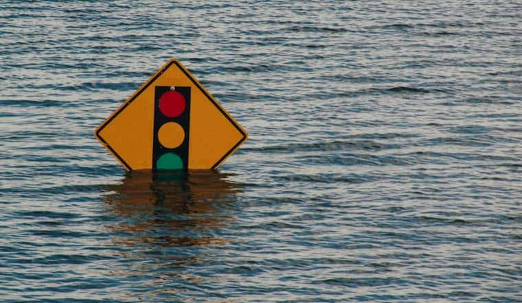
Sunday brings unsettled weather and prolonged onshore breeziness, with showers, gusty east winds and isolated thunderstorm potential primarily south of I-10. Temperatures should reach near 78 degrees before slipping into the mid-70s, while coastal areas deal with minor flooding and dangerous surf.
Rain And Gusty Winds Arrive Sunday
Showers could develop before 1 p.m. Sunday, followed by a chance of showers through the afternoon and evening, with isolated thunderstorm potential primarily south of I-10. The rain chance is around 50%, with east-northeasterly winds increasing to 10 to 15 knots (about 12 to 17 mph) and beach gusts around 20 to 25 mph; heavy rainfall could lead to localized flooding.
The National Weather Service in Jacksonville says locally heavy rain could become a bigger concern Sunday night and Monday, particularly along the coast and the I-95 corridor. Some parts of Northeast Florida could see 2 to 3 inches through Monday, with isolated totals near 4 inches, according to the National Weather Service.
Coastal Flooding And Rip Currents Remain Serious
A Coastal Flood Advisory remains in effect for coastal Duval County through 7 p.m. Monday, with minor flooding possible in low-lying roads, parks and lots. Isolated road closures are possible, so drivers should not go around barricades or drive through water of unknown depth.
The beaches are also under a high rip current risk through Tuesday evening, with rough surf and breakers reaching roughly 6 to 8 feet from Ponte Vedra south through Tuesday. Swimming near a lifeguard is strongly advised; anyone caught in a rip current should stay calm, float and move parallel to shore rather than fighting the current.
Monday Stays Wet Before A Clearer Weekend
Monday brings showers, with a 60% rain chance and a high near 77. Monday night brings showers continuing overnight, with a low near 67 degrees.
Showers remain possible Tuesday and Wednesday as highs climb into the upper 70s and near 80. A drier pattern finally arrives Thursday, when mostly sunny skies and a high near 81 are expected, followed by sunny and mild conditions Friday and Saturday.
The latest advisory package adds a sharper coastal flooding and beach-safety focus to the wet-weather pattern described in Hoodline's earlier Jacksonville forecast.





