

























































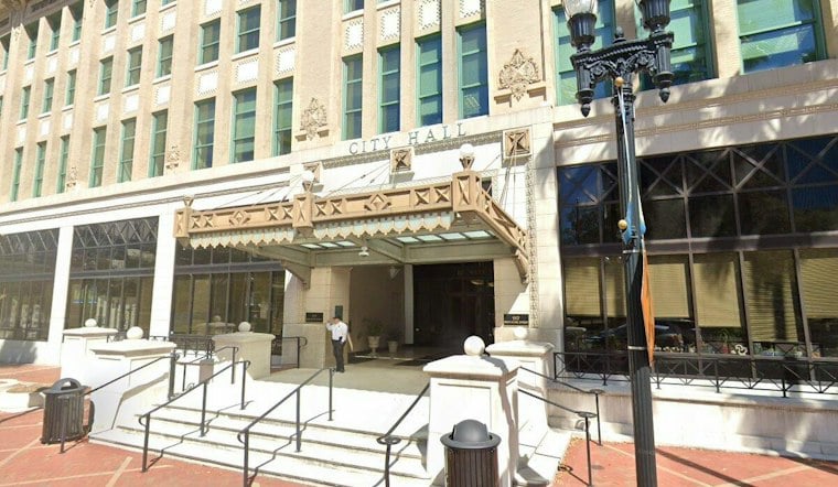
Cloudy skies are hanging over Jacksonville on Wednesday as a long stretch of rain, gusty northeast winds and rising flood concerns takes hold across Northeast Florida. Showers are expected to become more persistent through the day, with temperatures reaching about 70 degrees before the unsettled pattern intensifies tonight and Thursday.
Flood Watch Covers Jacksonville Through Friday
A Flood Watch is in effect through Friday evening for Duval County and surrounding parts of Northeast Florida. The National Weather Service Jacksonville says repeated rounds of heavy rain could produce roughly 4 to 8 inches across portions of the Northeast Florida coast and St. Johns River basin, with isolated totals of 8 to 12 inches possible.
Wednesday brings a 90% chance of rain. Rain continues Wednesday night, and Thursday is expected to be another thoroughly wet day, with a high near 72 and northeast winds of 15 to 25 mph with gusts of 30 to 35 mph.
Rough Surf Adds Another Safety Concern
The Atlantic coast is dealing with its own set of problems. A High Surf Advisory is in effect through Friday evening for breaking waves of 7 to 10 feet, while the risk of dangerous rip currents remains high.
That means beachgoers should stay out of the water if they are inexperienced, swim only near a lifeguard and avoid driving or walking through water of unknown depth. The same storm pattern that is sending rain inland is also keeping northeast winds aimed at the beaches, making conditions hazardous even when showers briefly ease.
Weekend Forecast Finally Dries Out
Rain chances remain high Friday, when Jacksonville could see more showers and a high near 73. Saturday should still bring a few showers, but conditions are expected to improve by Sunday, with mostly sunny skies and a high near 75.
The updated outlook is a notable escalation from Hoodline's Tuesday forecast, with the Flood Watch now covering Duval County and the heaviest rainfall threat extending across several days. For Jacksonville residents, the practical takeaway is simple: keep an eye on drainage trouble, allow extra time for wet roads and postpone beach plans until surf and rip-current conditions improve.



