

























































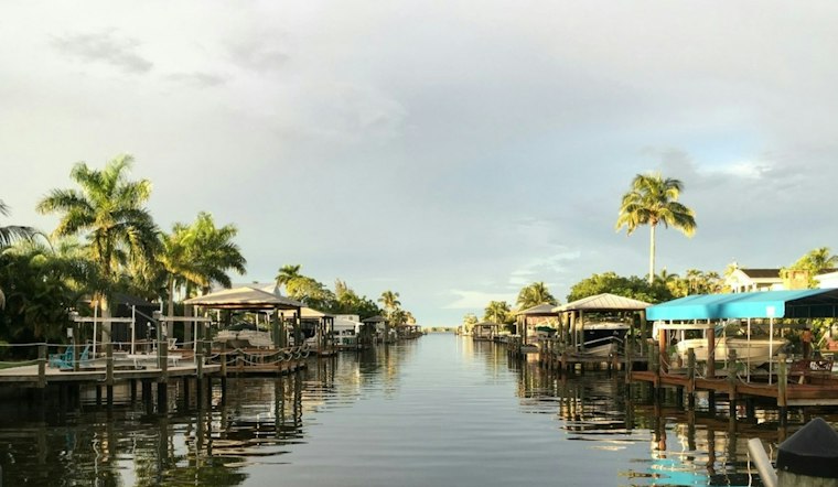
Fort Myers starts Tuesday warm and mostly cloudy, with temperatures around 72 degrees early and a high near 86. The bigger weather story arrives after lunch, when scattered showers and thunderstorms are expected to spread across the area.
Storms Arrive After Lunch
The better chance of showers and storms is after 1 p.m.; the National Weather Service gives a 60% chance of rain for the day. East winds around 10 mph are expected, and another quarter- to half-inch of rain is possible.
Tuesday night should be partly cloudy and muggy, with showers and thunderstorms possible. The low will be near 72 degrees, with a 20% chance of additional rain and no watches, warnings or advisories listed for the area.
Wednesday Keeps The Umbrella Handy
Wednesday will stay mostly sunny early before scattered showers and thunderstorms develop after 2 p.m. The high should reach about 86 degrees, with lighter east winds near 7 mph and a 50% chance of rain.
The latest outlook builds on Hoodline's Monday forecast, which flagged a warm, unsettled start to the week before a drier pattern takes over.
Sunshine Returns Thursday
Thursday brings a clean reset with sunny skies, a high near 85 and only a minimal rain chance. Friday and Saturday look similarly bright, with highs near 85 and 84 degrees.
Mostly sunny skies are expected to return by the weekend. A weak front is expected to bring slightly cooler mornings and lower humidity to Southwest Florida late this weekend and into early next week.




