

























































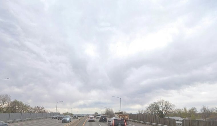
Denver is waking up under cloudy skies and temperatures around 37 degrees Saturday, with a small chance of snow before the city gets a partly sunny afternoon. The afternoon should bring temperatures in the upper 30s and low 40s.
Flurries Possible Before Noon
The National Weather Service Denver/Boulder says snow activity should exit the area around noon. The chance of light snow accumulations is about 30% in parts of the lower foothills and urban corridor, and most lower-elevation neighborhoods should see little or no accumulation, though a narrow band could bring brief flurries. The National Weather Service expects light mountain snow to continue, with roughly 1 to 2 inches possible in favored mountain areas.
Cold Saturday Night, Mostly Sunny Sunday
Skies should clear Saturday night as temperatures fall to around 22 degrees, making for a properly icy start to Sunday. Sunday will be mostly sunny with a high near 48 degrees, although forecasters are watching for possible freezing fog and reduced visibility across parts of the northeastern plains.
Another Small Snow Chance Monday
Monday stays partly sunny with a high near 45, then brings another slight chance of snow after 5 p.m. and into Monday night. The odds drop sharply Tuesday as mostly sunny skies return, with highs in the mid-40s Tuesday, 51 Wednesday, 56 on Thanksgiving Day and 58 Friday.
The updated outlook sharpens the weekend timing from Friday's Hoodline forecast: Denver's snow chance is now concentrated in the Saturday morning window, while the bigger weather story is a brief cold snap before a warmer holiday stretch. No watches, warnings or advisories are currently posted for the Denver forecast area.




