

























































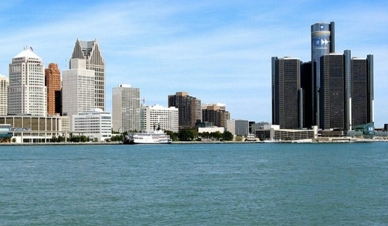
Detroit is starting Monday under cloudy skies and temperatures near 55 degrees, but the city is headed for a notably mild stretch. Mostly cloudy conditions should push the afternoon high toward 67 degrees before a wetter, cooler pattern takes over midweek.
The National Weather Service Detroit/Pontiac expects southerly flow to increase through the day. Monday night stays mild, with a low near 57 and pockets of drizzle or light rain possible mainly late evening or overnight.
Tuesday Brings A Near-Record Warmup
Tuesday looks like the warmest day of the week, with mostly cloudy skies and a high near 75 degrees. Southerly flow will strengthen, making it feel more like an early spring preview than the first week of November.
The forecast is just shy of Detroit’s November 3 record high of 76 degrees, set in 2015. Tuesday night will remain unusually mild, with mostly cloudy skies and a low near 62.
Rain Arrives Wednesday And Lingers
Rain is expected to develop after 7 a.m. Wednesday, with light rain likely and a high near 71 degrees. The weather service says rainfall should generally remain under a quarter-inch, but the wet weather could complicate morning commutes and outdoor plans.
Thursday brings a partly sunny high near 66 with a 30% chance of light rain, while Friday turns cooler at around 60 degrees with another chance of showers. The weekend looks more seasonable.
That sharper Tuesday-to-Wednesday swing updates Hoodline’s earlier Detroit forecast, which had already flagged the warmup but offered less certainty on the rain timing. No watches, warnings or advisories are currently posted for Detroit.





