

























































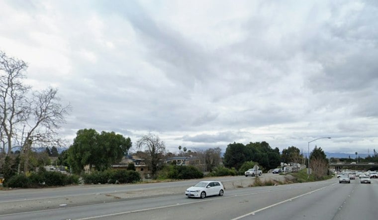
San Jose is waking to cloudy skies Friday as a storm system moves in, with rain, gusty south winds and a small chance of thunderstorms set to turn the day into a wet one. Temperatures are hovering around 62 degrees early Friday before slipping toward the upper 50s this afternoon.
Friday’s Wettest Stretch Arrives Before Lunch
The National Weather Service says pre-frontal showers were already occurring overnight and should continue, with the main frontal band expected to reach the central Bay Area later Friday morning into early afternoon. Winds across the region will generally run 15 to 30 mph, with gusts of 30 to 40 mph, while rainfall totals for the Santa Clara Valley could range from about one-third of an inch to one inch.
That makes for a slicker-than-usual Friday commute, especially as the main rain band moves through the South Bay. Hoodline previewed the storm’s arrival Thursday, but the latest forecast now puts sharper emphasis on the thunderstorm window and the coastal hazards arriving with it.
Saturday Offers A Brief Weather Lull
Saturday should bring a short break, though patchy fog is expected in the morning and a slight chance of rain could linger through about 10 a.m. Skies should turn partly sunny later, with a high near 65 and a chilly overnight low around 45.
More Rain Returns Sunday And Next Week
Another round of rain is expected after 10 a.m. Sunday, with a high near 65, followed by more rain Sunday night and a chance of showers Monday before 4 p.m. Monday’s high should reach only about 60 degrees.
Tuesday looks like the week’s clearest window, with patchy morning fog followed by sunshine and a high near 61. Rain is expected to return Tuesday night and continue through Wednesday, with another chance of showers Thursday.
Coastal Plans Come With Serious Warnings
The National Weather Service has issued a High Surf Warning from 6 p.m. Friday through early Sunday, with breaking waves reaching 25 to 35 feet and occasional larger sets at favored breaks. Sneaker waves and rip currents will make the ocean especially dangerous, so stay off rocks and seawalls and do not turn your back on the water.
Coastal flooding concerns remain around vulnerable Bayshore locations through Friday’s high-tide cycle, while Saturday’s coastal-flooding concern is along the Pacific coast from wave runup. For San Jose residents, the safest weekend plan is straightforward: allow extra time for Friday travel, keep Saturday flexible and treat the coast as a no-go zone.




