

























































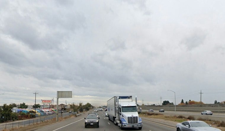
Sunday is expected to bring cooler conditions and precipitation to the region.
The National Weather Service says a second wave of moisture arrives Sunday morning, beginning in the north and west portions of the forecast area.
Rain Arrives Sunday Night
Sunday night will stay cloudy and wet, with a low around 50 and a 90% chance of rain. The heaviest period is expected overnight, so evening plans may start merely gray and end with slick roads and windshield wipers doing the most work.
Monday brings lingering morning showers, followed by drier conditions.
Brief Break Before A Bigger Storm
Tuesday is the brief reset: mostly sunny, dry and near 59 degrees. That break may be the last easy weather window for a while, because another storm is expected to arrive Tuesday night with rain and increasingly gusty winds.
Wednesday and Thursday look like the roughest part of the local forecast, with periods of rain, strong southerly winds and Valley highs struggling to reach 50 Wednesday and in the low-to-mid 50s Thursday. Forecasters are also watching for a small chance of thunderstorms, which could bring brief heavier downpours, small hail or sudden wind gusts in parts of interior Northern California.
Sierra Travel Could Get Messy
Anyone heading east toward the Sierra should expect a much more wintry situation. A winter weather advisory is in effect for higher elevations from Sunday afternoon through Monday night, where snow, reduced visibility and slick roads could lead to delays or chain controls.
Rain and storms are expected Friday, while next Saturday stays mild but could bring a slight chance of late-day rain. For the Valley, the week starts with a manageable shower and ends with a much more serious reminder that winter is clocking in.





